


Near Salt Lake City, Utah. Research Day 13 (July 22).
The Ohio State field camp was going on a day trip to see some great geology near Salt Lake City, so the Wooster gang decide to join them once again. Last field trip, we had a singular focus: to study the thrust sheets associated with the Sevier Orogeny. However, this field trip was different, because the goal was to see as much geology in the Salt Lake City region as was humanly possible in one day. And, 14 hours later, we succeeded in seeing a spectacular landslide, an impressive intrusion, one of the largest open pit mines in the world, and the famous Wasatch Fault.
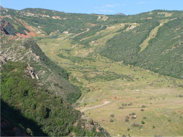
View of the 1983 Thistle landslide, which has a depth of 60 m and initially blocked the canyon and associated Spanish Fork River. The costs to "correct" damage caused by the landslide approached ~$200 million.
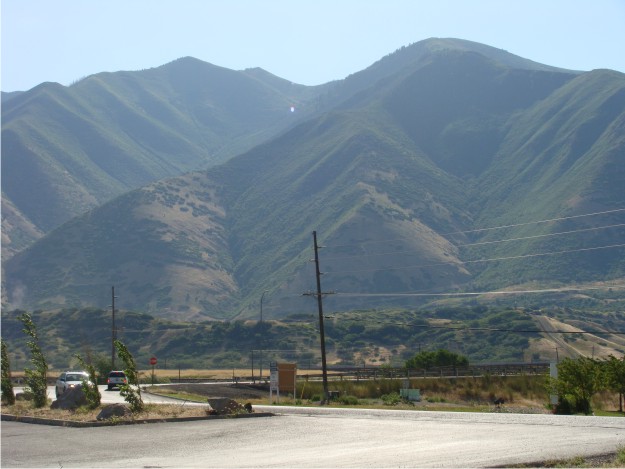
After the Thistle landslide, we headed toward Spanish Fork, Utah, where triangular facets are exposed along this segment of the Wasatch Fault at the mouth of the canyon.
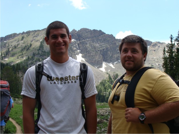
Phil and Bill seemed to enjoy Albion Basin, which was our next stop of the day. Albion Basin, at the head of Little Cottonwood Canyon, is the location of exposures of the Alta stock. The stock, a granodiorite, was intruded into sedimentary rocks in the area. As a result, there is evidence for contact metamorphism that can be mapped from unique mineral assemblages.
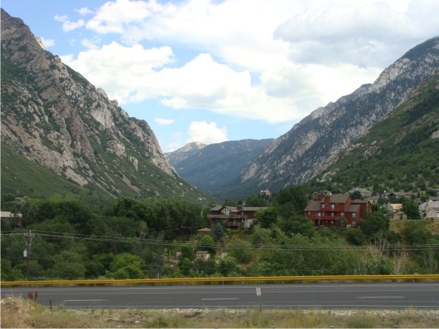
After driving down from the Albion Basin, we stopped at the mouth of Little Cottonwood Canyon to view the glaciated U-shaped valley.
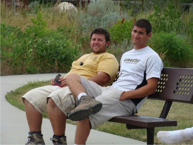
Believe it or not, the view at the mouth of Little Cottonwood Canyon is accessible from a "geologic view park". Land at the mouth of the canyon was donated, and a series of educational signposts describe the bedrock geology, regional glaciation, the Wasatch Fault, and the terraces of Lake Bonneville. Bill and Phil are shown at the geologic view park relaxing and waiting for us to go to our next stop.
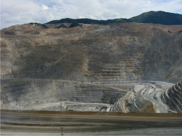
Our next stop was the famous Bingham Canyon Copper Mine, where copper, molybdenum, gold, and silver (just to mention a few) are mined daily. We were able to tour the visitor's center, watch a short video on Kennecott Copper's mining operations, and spend some time peering down into Earth's largest man-made excavation.
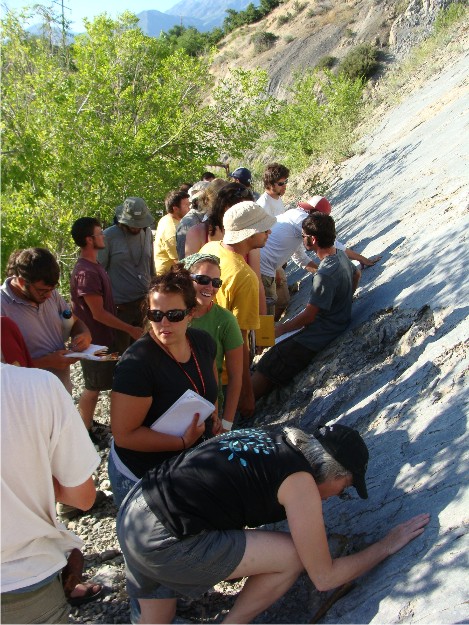
For our last stop of the day, the group invaded someone's backyard to look at one of the best exposures of the Wasatch Fault in the Provo area. In this photo, we are all huddled at the fault surface, examining slickenlines, slickenfibers, and fault breccia. Luckily, I was able to collect several samples to use as test specimens for this year's structure exams!