


Guest bloggers: Ihaja Metz and Cooper Norwell: On September 29th, 2025 Dr. Wiles’s Hydrology class (along with Dr. Ison’s Field Botany class) took a trip out to Fern Valley, a College of Wooster monitering station on Wilkin run, a stream that flows North into Odell Lake. Throughout the time in the valley, the class observed numerous geological features that speak to the history and formation of the valley.
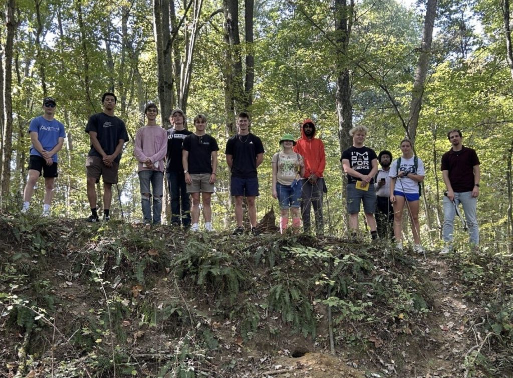
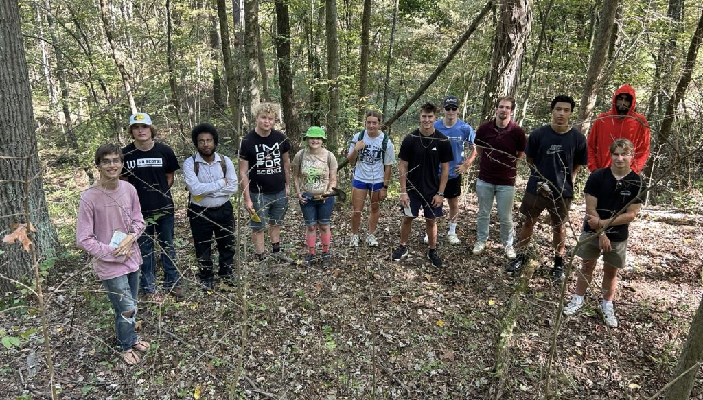
Figure 1. The Hydro25 class on a scarp in Fern Valley. This Scarp likely formed from glacial sediments sliding down the clay surfaced beneath them when the galacial sediment become filled with water.
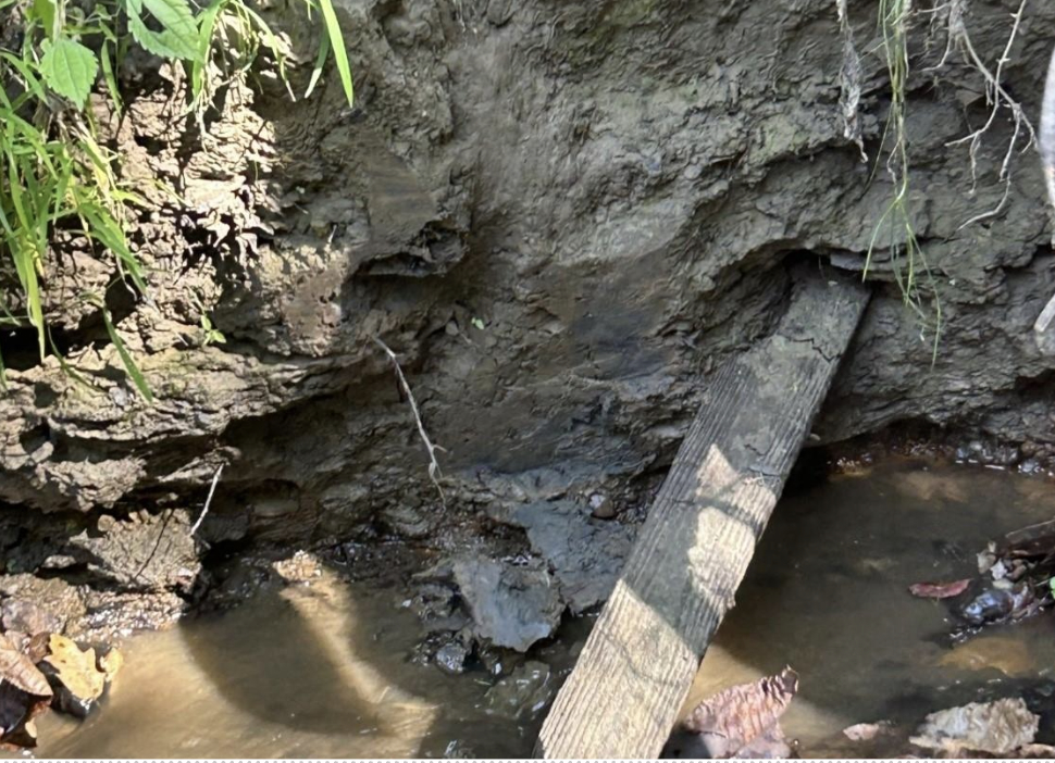
Figure 2. A human made wooden post, allowing us to determine that these layers of sediment are Legacy sediments, or sediments that have been deposited after European arrival in the area around 200 years ago.
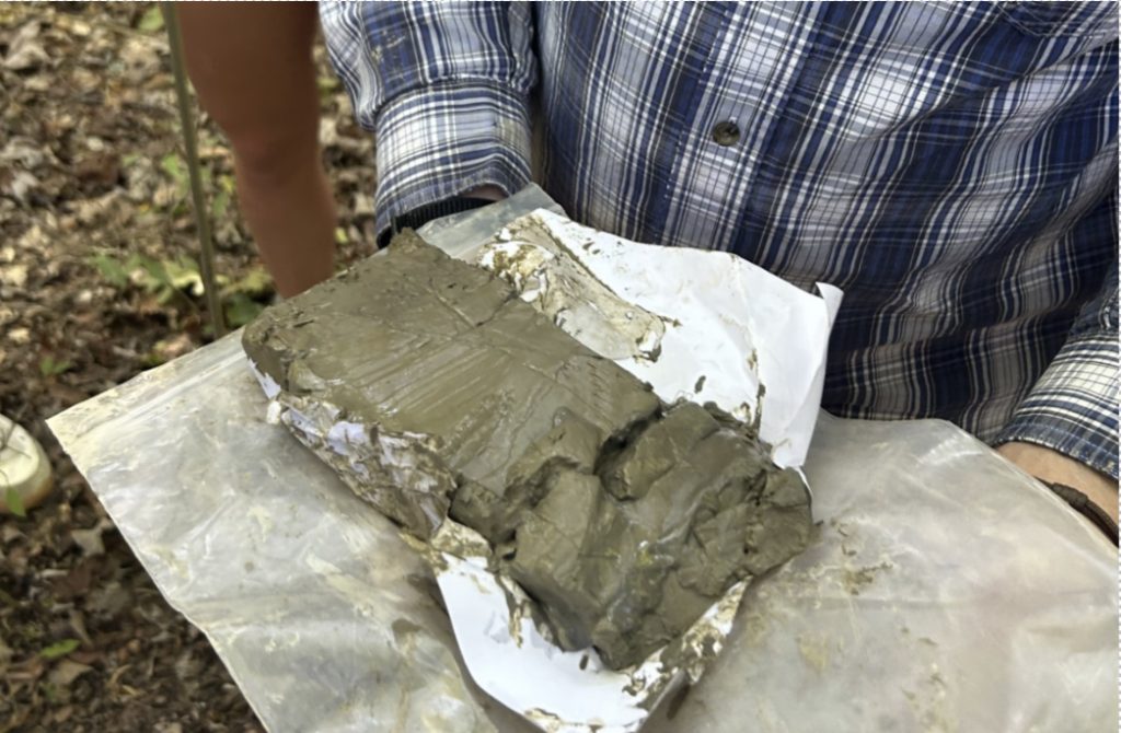
Figure 3. Dr. Wiles sliced a clump of clay out of the side of the bank to show the class. Within the clay, se identified many layers of alternating silt and clay particles, known as varves. Varves are found within fine–grained sediments to reveal a year–by–year record of environmental conditions, and frequently indicate the presence of a paleo-lake, likely before the Last Glacial Maximum 20,00 years ago.

Figure 4. Located in Fern Valley is an oxbow lake, seen in the background of this image. This oxbow lake formed when a storm knocked down a few trees, blocking off a section of the stream. The difference in the surface of the water between the lake and the stream is an indication of the rate at which the stream is downcutting in this region.
The geological features shown in the figures above, as well as few others not shown here, paint a picture of how Fern Valley formed into what it is today. This area was likely a lake before the Last Glacial Maximum, giving us the clay layers that we know see at the bottom of the stream. The area was then buried by glaciers during the Last Glacial Maximum 20,000 years ago, and when those glaciers retreated, the left behind thick layers bright sand and gravel. The ancestral Wilkin Run then cut down through these sands and gravels, creating a valley. Afterwards, rainfall has cause the slopes to gradually slump down into the valley, and human influences have caused a mixture of soils to runoff into the valley, making the valley into what we see today.
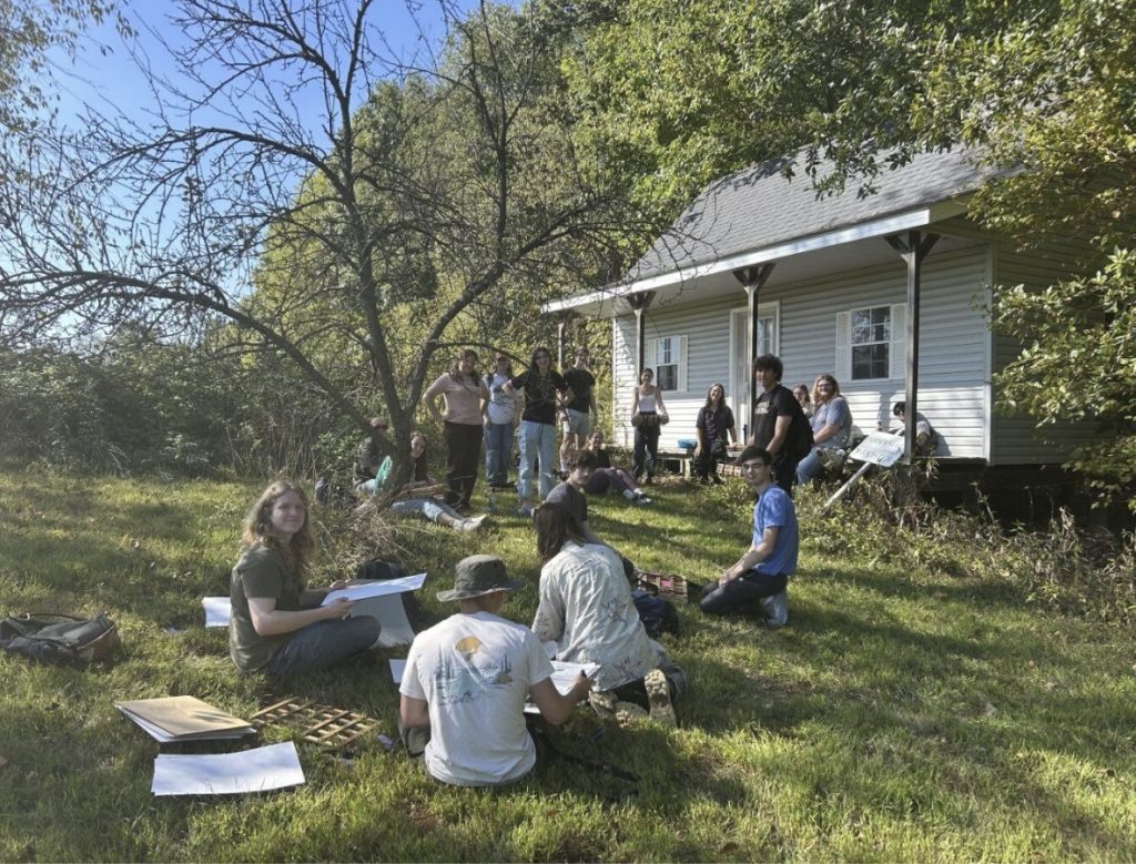
Figure 5. The Field Botany class taking notes and wrapping up their projects before leaving.

Figure 6. The Class leaving the site at the end of the trip
Looking down on the group from the normal fault scarp. We thank Matte for driving the bus and for showing us some of the sites in Shreve on our return.