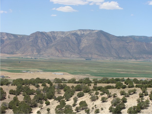
White Hill, north of Ephraim, Utah. Research Day 5 (July 14).
We devoted most of today to mapping the largest and most continuous tuff in the Green River Formation. Our goal was to walk completely around White Hill while mapping the tuff with a Trimble GeoXH Handheld. This was part of Bill’s project, so he was in charge of GPS data collecting, while Phil was the “point man” (i.e., he walked ahead of Bill, all the while trying to keep on top of the tuff even when it was in nearly covered intervals). Bill used an antennae with the handheld GPS; however, the only catch to our plan was that we did not have an antennae rod. So, Bill walked around White Hill with GPS and stylus in one hand and the antennae in the other, striking a pose like the Statue of Liberty. This enabled us to get sub-2 ft resolution, which is good data for his mapping project.


We started mapping the tuff at road level (~5,620 ft elevation) and ended the day at the top of White Hill (~6,381 ft elevation). Due to the dip of the beds, it was a slow, steady climb throughout the day. However, the view at the top of White Hill is gorgeous. For example, the photo above is a view to the W of the Gunnison Plateau (San Pitch Mountains). On a clear day in central Utah, you can see for miles.


