


Last Monday there was a power outage on campus and classes were cancelled, despite this news our afternoon lab period fieldtrip went on as planned. The trip consisted of a field trip led by Nigel Brush (retired from Ashland U. and Wooster). It was a great trip on a beautiful day and we greatly appreciate Dr. Brush’s time and willingness to share his expertise of the history of our region. 
Above the students survey ice stagnation features from the top of a kame.

View of a kettle from the rim of the kettle. The kettle is located on the map below (lower right).

Map (soilexplorer.net) showing the kame and kettle terrane with the esker in the middle. The kame shown in the photo above is the circular feature in the lower right.

The Mohicanville Dam is located in one of the former Lake Craigton spillways. The dam, located in this hours glass spillway, is the site of the narrowest reach of the gorge and controls floodwaters that would otherwise inundate communities to the south. Extensive flooding in 1913, in part, prompted the US Army Corp. to build this and other flood control structures.

GoogleEarth image of the Mohicanville Dam.

Map above (from soilexplorer.net) the amazing stagnant topography of the Browns Lake Bog area. Now that Dr. Brush pointed out some additional features in the region we wonder is the feature in the upper left is an esker?

The group at Browns Lake Bog discussing the old growth forest on the kames and the relatively new forest in the flats. The the post-glacial history recorded in the sediments and tree-rings at the site has been an extensive subject of research at the College of Wooster in collaboration wit hthe University of Cincinnati over the past two decades.

The upshot of the bog ecology is that during the time of European Settlement lake core records show a pronounced influx of silt and clay from surrounding soils and the fertilization of the nutrient-limited bog allowing the establishment of vascular plants (trees and shrubs) and the setting that we see today. This model was originally put forth by by Ireland and Booth (2012) and is the subject of Grace Neuman’s (’25) IS project (blog coming soon).
Reference: Ireland, A.W., Booth, R. K., 2012, Upland deforestation triggered an ecosystem state-shift in kettle peatland: Journal of Ecology, vol. 100, p. 586-596.


 Students sampling the remanent white oak stand at Browns Lake Bog a site managed by the Nature Conservancy.
 Coring the second-growth white oaks in Wooster Memorial Park.

 The College of Wooster campus maintains an impressive stand of old growth white oaks on its campus. Here members of the Holden Arboretum Tree Corps sample one the the impressive old trees.
 Secrest Arboretum (on the Wooster campus of the CFAES) is one of our favorite sites to cores trees. Many of the trees from all around the world have lived in Ohio for over 100 years. Here one of the coauthors cores a white oak planted about 100 years ago.


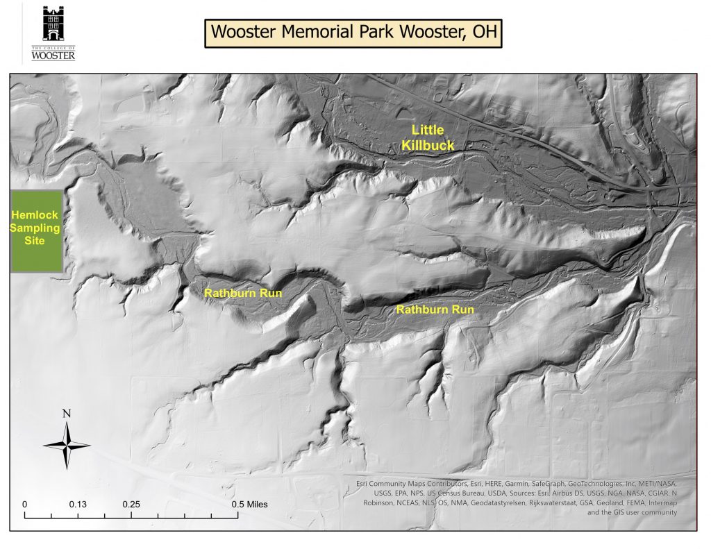 Lidar Map of Wooster Memorial Park – the green field in the west of the park is the approximate location of tree-ring sampling.
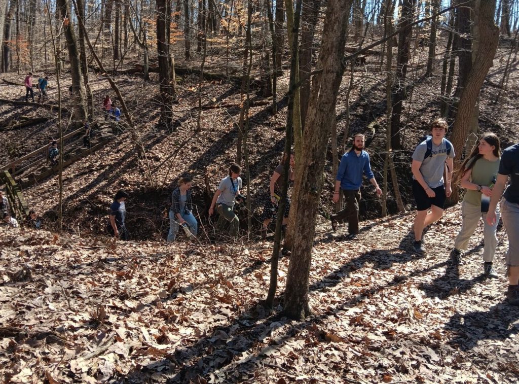

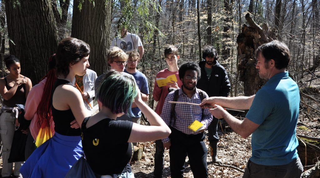
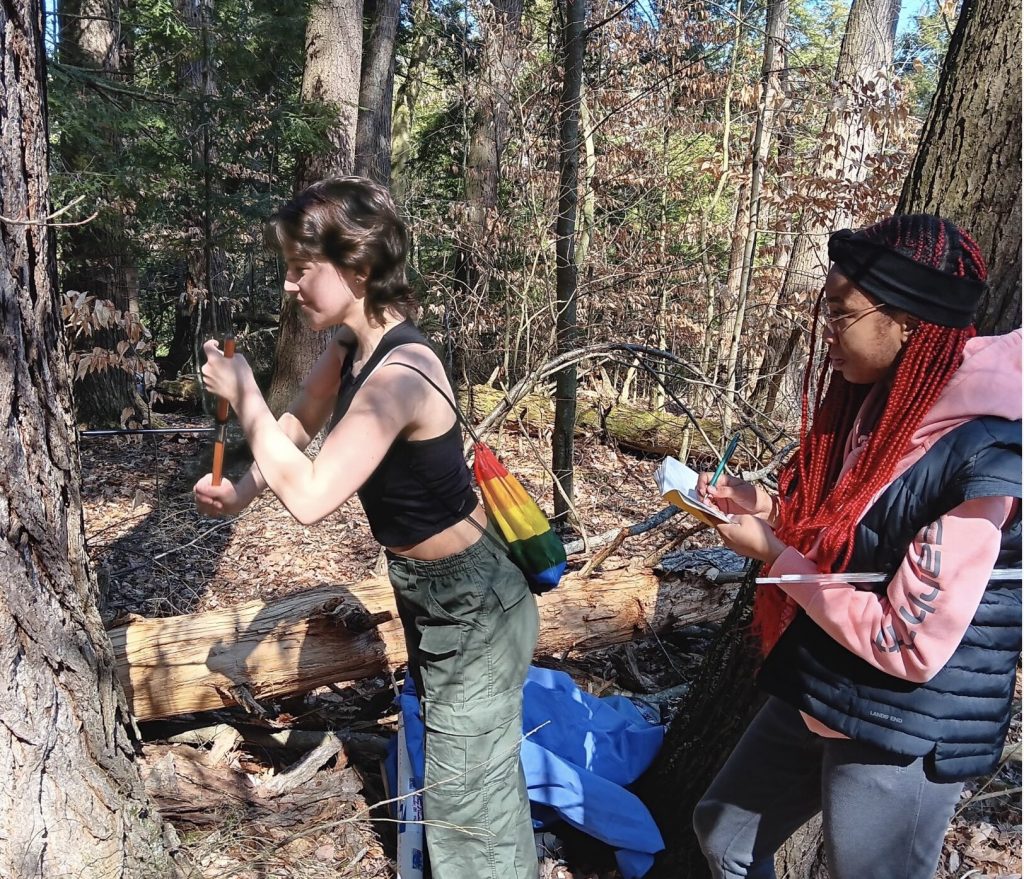
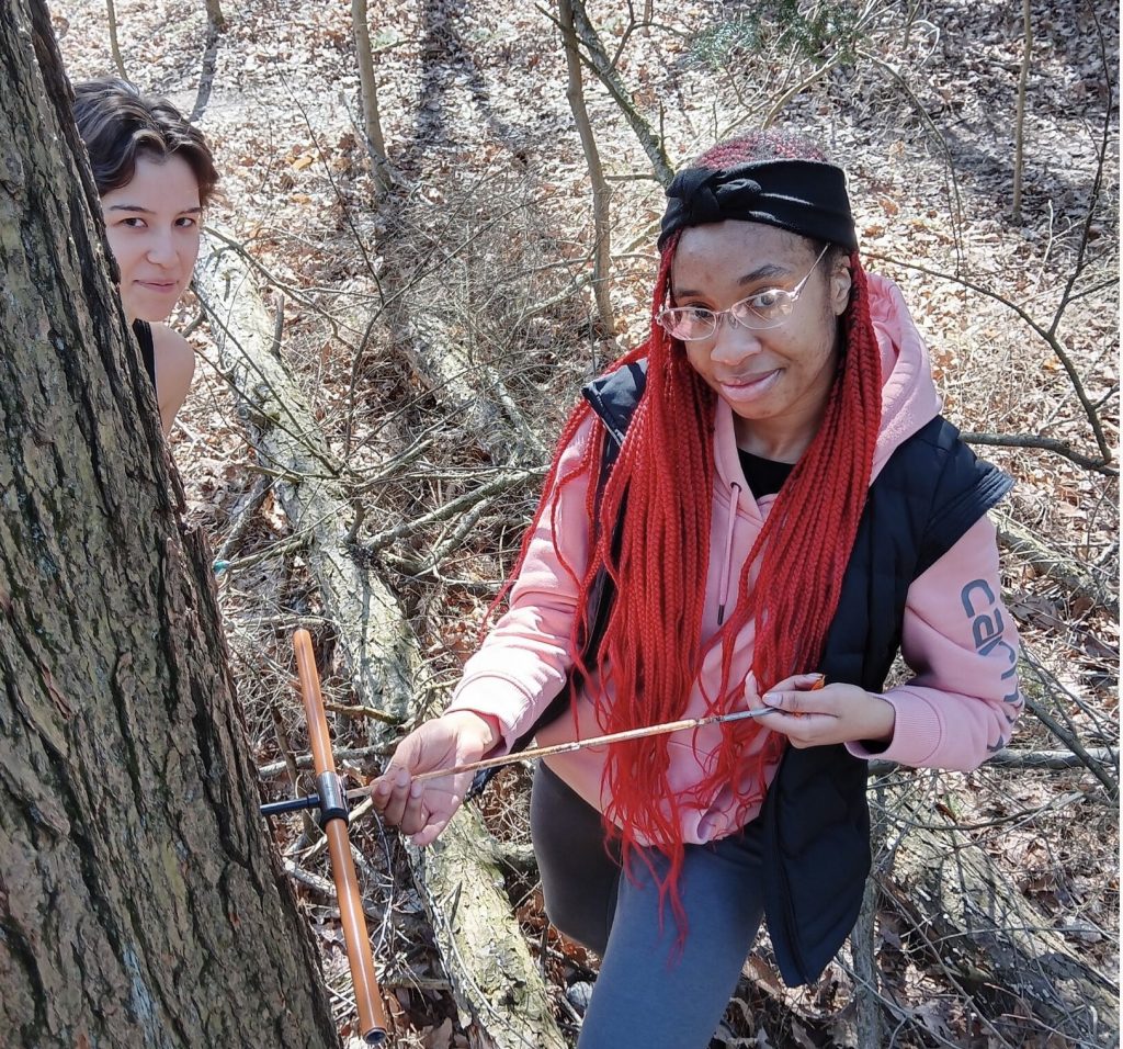
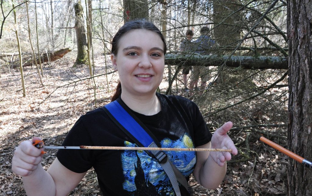
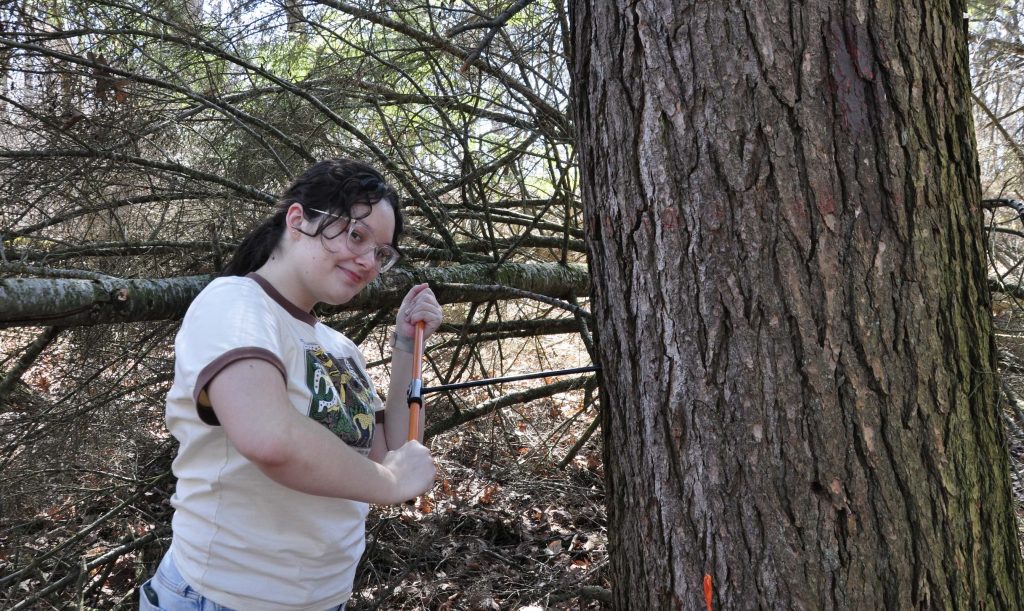

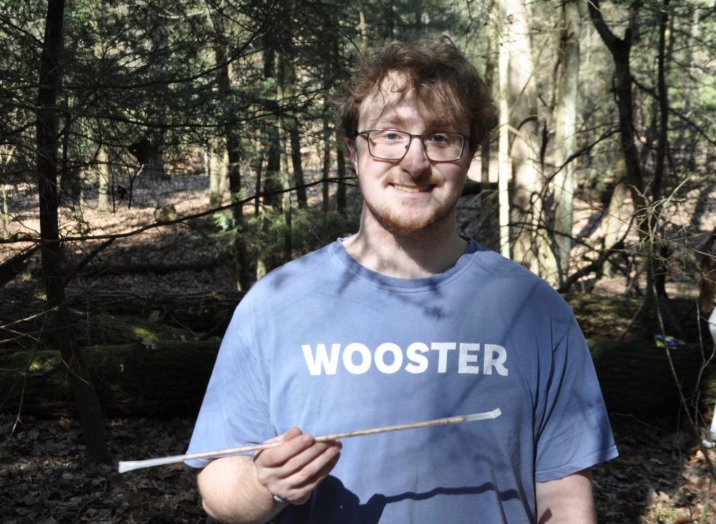
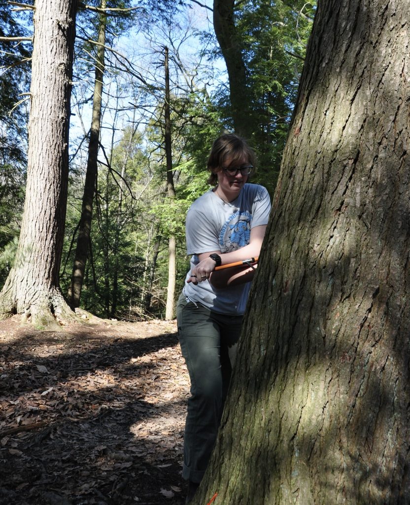
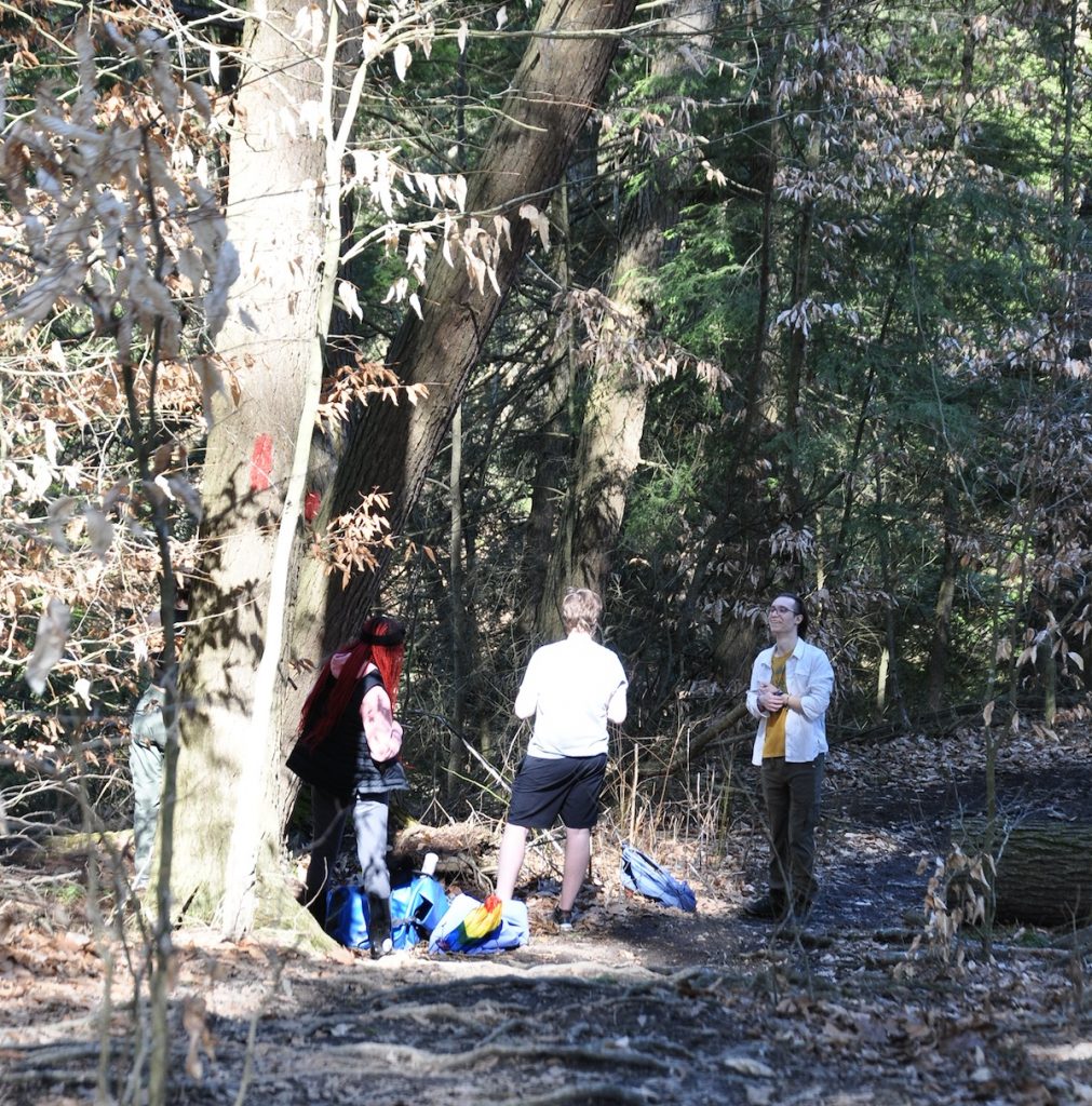
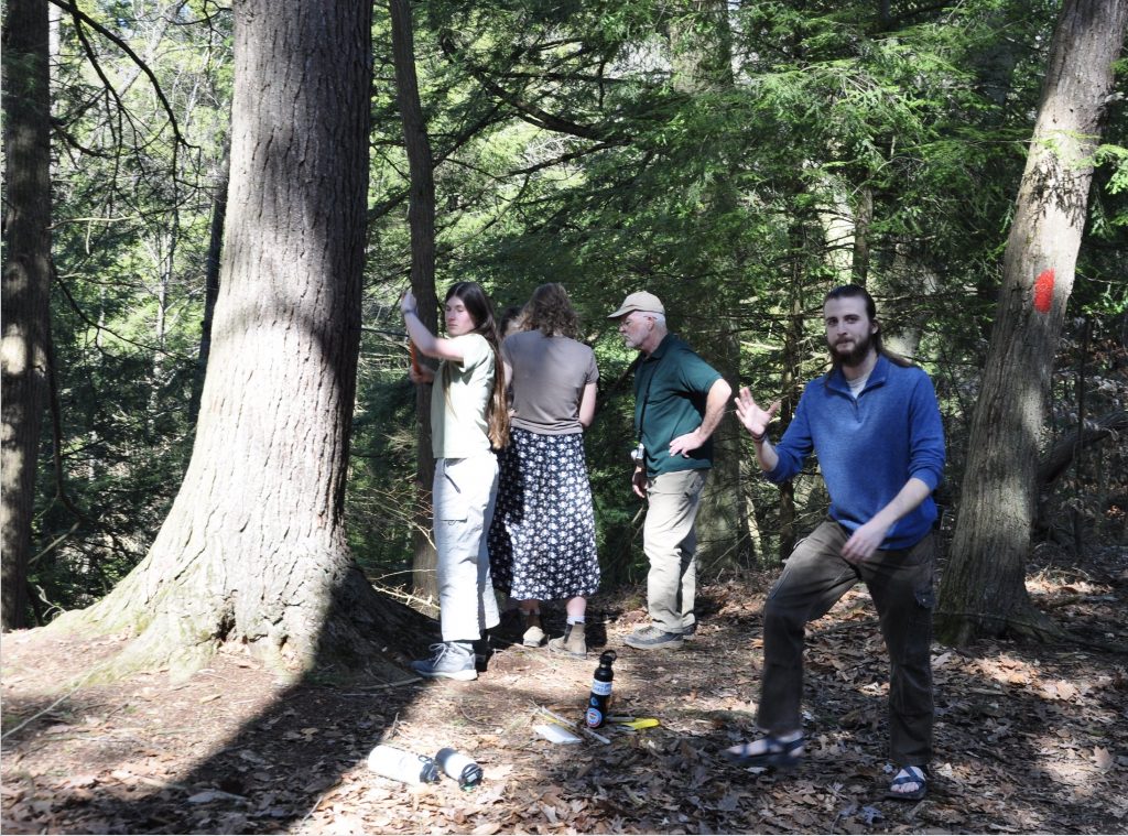
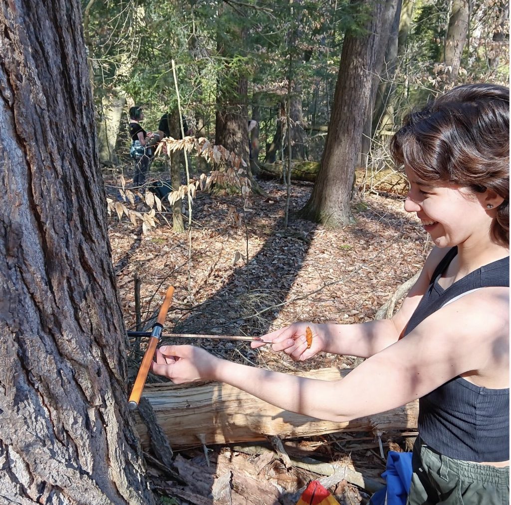
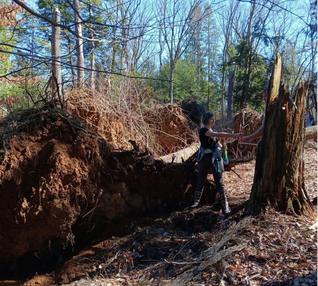
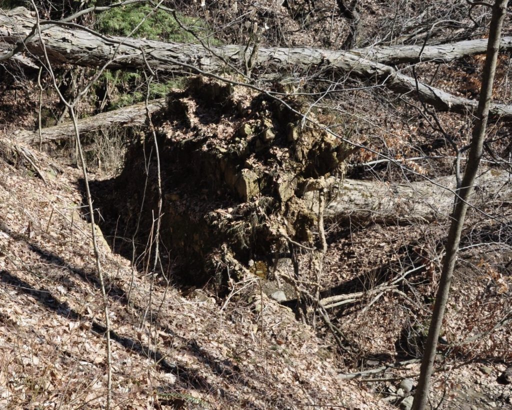






 Figure 11. The lodgement till at the top of the sequence, which, in turn, is capped by a melt-out till. The class was able to determine the ice was not absent from the site.


 Figure 14. Dropstone were evident and here we see a dropstone made of a stone and a till clast. This indicates icebergs in the lake dumping sediments into the lake.
 Figure 15. A portion of the class spent much of the time mining gypsum crystals. The presence of gypsum crystals at the pit indicate a desert environment? We explained the gypsum as a case of saturated groundwater and, of course, kinetics.
