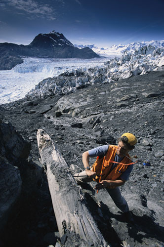
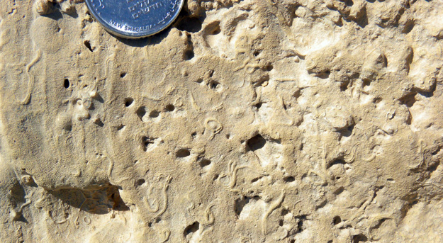
MAKHTESH GADOL, ISRAEL–One of the goals of this trip to the Negev was to map and analyze a series of faults Wooster geology students and Yoav Avni have found during our five years of fieldwork in Makhtesh Gadol. Our projects have all been stratigraphic and paleontological, and we need to understand the structural framework of these rocks before we can interpret their histories. In turn the faults could only be assessed after the stratigraphy has been sorted out, which we have essentially done now. Yoav and I were able then to examine these faults this week and place them on the map with some ideas about their dimensions and times of movement. (“Yoav and I” means in this case that I watched Yoav do the real work!)
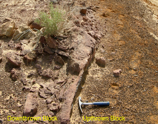
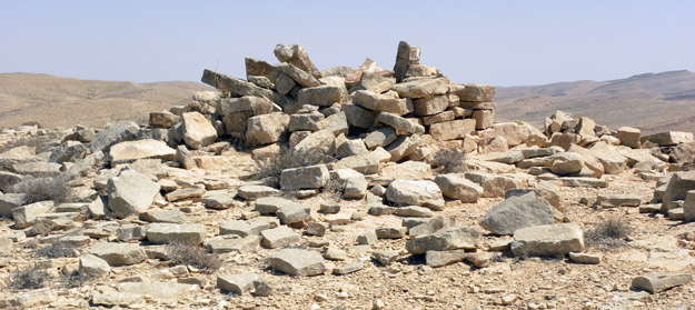
Vertical fault (at the hammer head) in the Matmor Formation, Makhtesh Gadol, Israel.
Most of the faults are vertical and more or less east-west trending. After mapping them, the fun part was working out how much displacement took place and when. For example, using a Lower Cretaceous laterite as a key horizon, we could tell on one segment of a fault that 6.5 meters of displacement was prior to laterite formation and 4.5 meters came after the laterite. This could only be done after the stratigraphy of the Jurassic units under the laterite was described, which is Wooster’s contribution to this structural analysis.