The campus of the Geological Survey of Israel (GSI) may not look like much from the outside, but it is a world class scientific institution. It has about 100 employees, most of whom are Earth scientists. The buildings and grounds of the headquarters are understated in part because they are a section of an old Mandate-era British military base, and also because they are embedded within an ultra-orthodox neighborhood one block away from Mea Shearim. (I would have included a photograph of a street scene, but I learned my lesson earlier when I was observed removing a camera from my pocket and was very much chastised.)
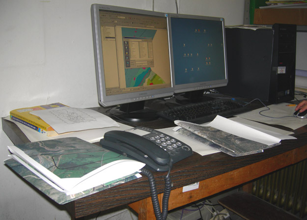
Our preparations for this week’s fieldwork include using Geographical Information Systems (GIS) software and hardware to create custom maps. We selected the best aerial imagery available and superimposed on it the known geological information, especially the contacts between stratigraphic units.

A GIS station in the GSI offices. (I know: GIS, GSI ...) On the left-hand corner of the table is our growing pile of printed orthophotos with superimposed geological information.
Finally, in case anyone wonders if I’m eating well enough, you can see from this last image that I’m doing just fine.


Who would do the chastising? The police? The Army?
The haredim (ultra-orthodox) themselves with shouts and gestures made it clear they did not want me taking photographs in their neighborhood. Think Amish, but with an edge.