This rock has been in my Invertebrate Paleontology course teaching collection since I arrived in Wooster. I collected it way back when I was doing my fieldwork for my dissertation on the biostratigraphy and paleoecology of the Bird Spring Formation (Carboniferous-Permian). This specimen comes from Kyle Canyon in the Spring Mountains west of Las Vegas, Nevada. It is from the Upper Carboniferous part of the Bird Spring. It is up this week in honor of Jeff Thompson, a new graduate student at the University of Southern California beginning his thesis work on Paleozoic echinoids.
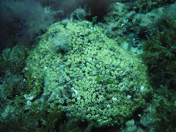
These are spines and test plates from the echinoid Archaeocidaris M’Coy, 1844. There are many far more attractive specimens known of Archaeocidaris, so consider this a more average view of what you’re likely to find in the fossil record. The test plates are polygonal and the spines have characteristic outward-directed thorns on them. This particular specimen was disarticulated after death in a shallow, possibly lagoonal environment.
 Archaeocidaris was named by Sir Frederick M’Coy, an Irish paleontologist. (You may have seen his name as McCoy or MacCoy, but he signed with the more natively Irish M’Coy.) M’Coy was born in 1817 or 1823 (I’m shocked that there is such a discrepancy in the records) in Dublin (maybe). His father was a physician and a professor at Queen’s College, Galway. M’Coy was apparently an early starter, giving his first paper in 1838 on bird functional morphology and classification. (He was either 15 or 21.) His work history is a bit spotty. In 1841 he became Curator of the Geological Society of Dublin, but was soon replaced. In 1845 he joined the new Geological Survey of Ireland hoping to be a laboratory paleontologist. He ended up doing fieldwork but was rather bad at it, resigning from that job. Off to Cambridge he went to assist Adam Sedgwick in describing fossils. He was at last doing something in which he excelled, resulting in important publications. In 1849 M’Coy was appointed Chair of Geology and Mineralogy at Queen’s College, Belfast. His last career move was a big one: he left Ireland for Australia in 1854 to become one of the first four professors of the new University of Melbourne and director of the National Museum of Victoria (now Museum Victoria). M’Coy was very successful in these roles, although I must note that he was an advocate of importing English rabbits into Australia (you know the result) and he appeared to be a bit of an anti-Darwinist. He died in Melbourne in 1899. (Thank you to my friend Patrick Wyse Jackson for these details on M’Coy.)
 The above is a figure in M’Coy’s 1844 work of the echinoid Echinocrinus urii (M’Coy, 1844, pl. XXVII, figure 1). There is a long story as to how this E. urii became the type species of Archaeocidaris. Andrew Smith sums it as:
Cidaris urii Fleming, 1828, p. 478, by subsequent designation of Bather 1907, p. 453. Generic name Archaeocidaris validated in Opinion 370 under plenary powers, by suppression under same powers of generic name Echinocrinus Agassiz, 1841. Opinions of the International Commission of Zoological Nomenclature 1955, 11, 301-320.
In any case, you can see how closely this illustration of an Irish fossil resembles our fossiliferous slab from the Spring Mountains. Ireland is far from Nevada now, but in the Carboniferous they were considerably closer.
References:
M’Coy, F. 1844. A synopsis of the characters of the Carboniferous limestone fossils of Ireland. Dublin, Printed at the University Press by M.H. Gill.
Rushton, A. 1979. The real M’Coy. Lethaia 12: 226.
Wilson, M.A. 1985. Conodont biostratigraphy and paleoenvironments at the Mississippian-Pennsylvanian boundary (Carboniferous: Namurian) in the Spring Mountains of southern Nevada. Newsletters on Stratigraphy 14: 69-80.
Wyse Jackson, P.N. and Monaghan, N.T. 1994. Frederick M’Coy: an eminent Victorian palaeontologist and his synopses of Irish palaeontology of 1844 and 1846. Geology Today 10: 231-234.