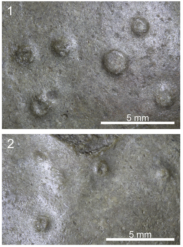
Nigel Brush and colleagues have assembled a record of human history in the Walhonding Valley of Ohio (see map below). Along with Jeffrey Dilyard and others, Brush has worked in the region for decades examining the history of human occupation throughout the Holocene in this part of Ohio. In this latest contribution Brush and colleagues (2025), along with Wooster geologists, has pieced together a story of hunting point technology, resource use, and climate change. A key question of this work focused on the technology of the lanceolate point (see figure below), which was widely used in the Great Plains for hunting bison early in the Holocene (late Paleoindian interval). Why this same technology was used later in the Holocene about 4.4 to 4.0 ka (~4,400 to 4,000 years ago) in Ohio is a mystery given that bison were not thought to be plentiful. Perhaps the reason was, that during this time of known climate shifts (ie. the 4.2 ka event) bison migrated east into the region and residents adopted the lanceolate technology to exploit this change in resource. The dry conditions in the central plains during this time and expanded prairies into Ohio might explain the lanceolate workshops in the Walhonding River valley and the need for these points. This is one of the hypotheses that the authors put forth to explain the presence of these points in the Walhonding Valley and an idea that could be tested further.
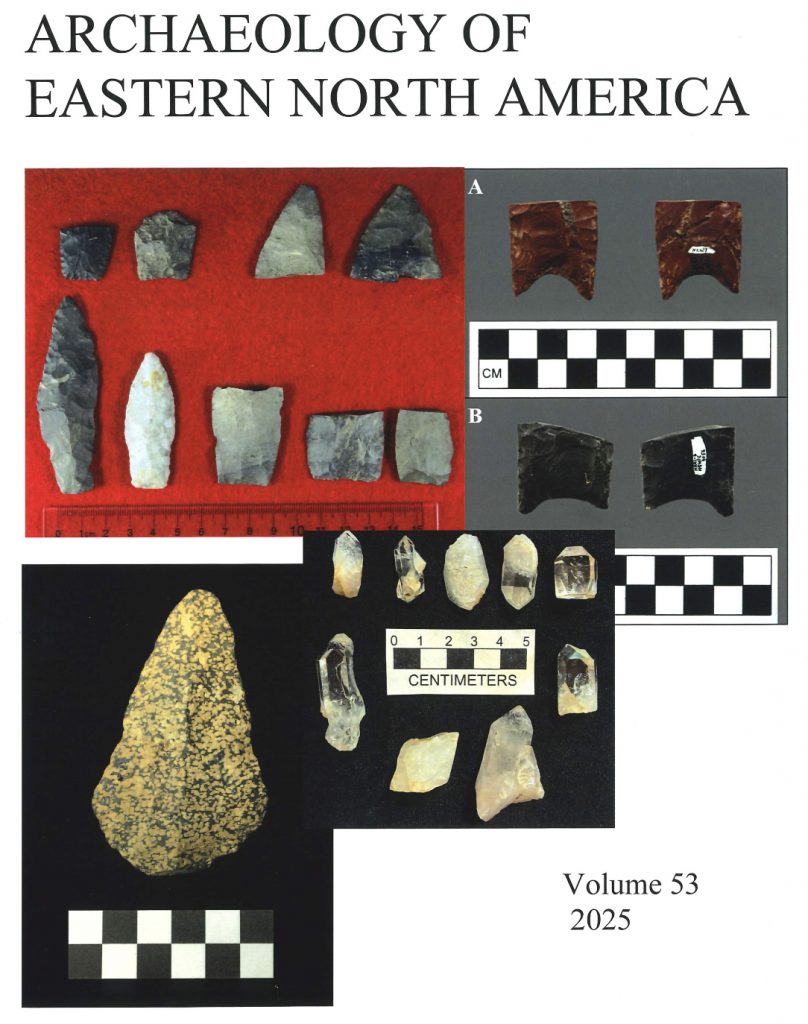
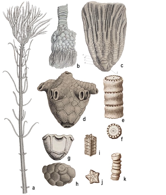
The cover of the Archaeology of Eastern North America (AENA) – the points on the upper left (red background) pertain to the article showing the manufacture of the lanceolate points.
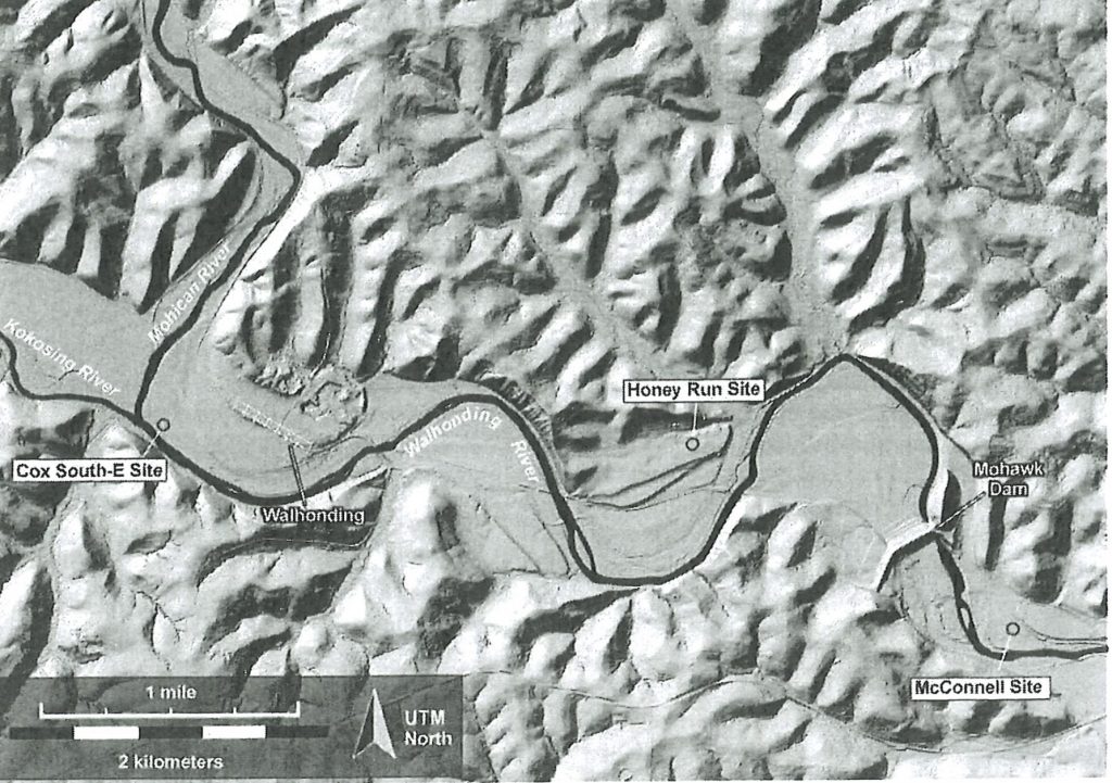
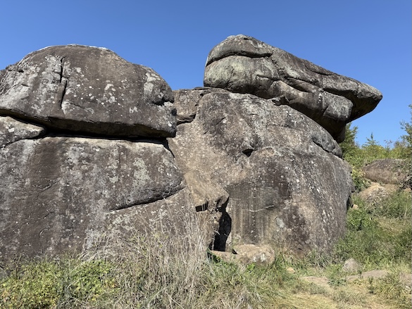
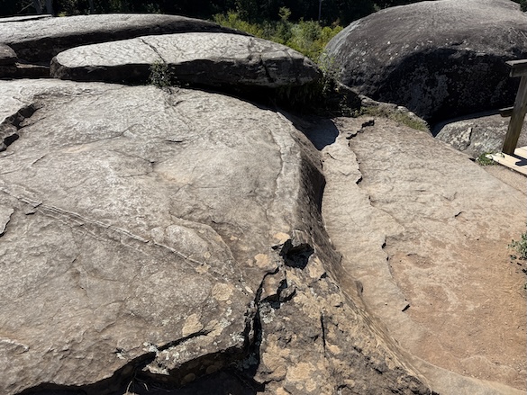
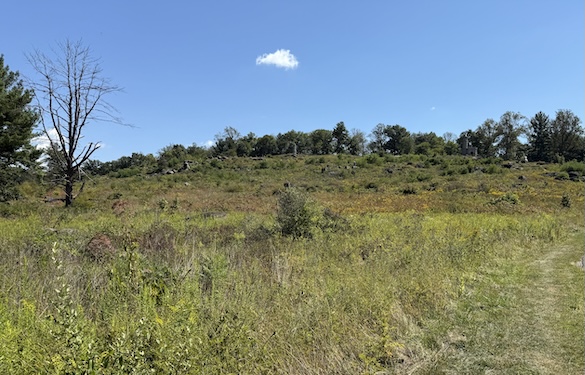
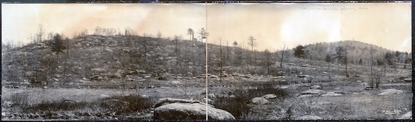
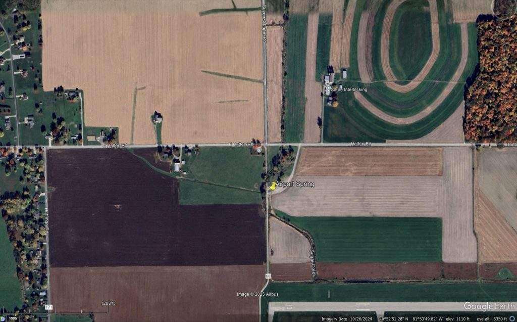
Map showing the Walhonding River site at the confluence of the Mohican and Kokosing Rivers. The Cox South E-Site is crucial in this study. Downstream also shown are the Honey Run and McConnell sites, which also have documented lanceolate point workshops.
A next-step in this study might be to investigate the ~4.2 ka interval in lake cores from Northeast Ohio to better understand the environmental changes at this time. A strong candidate would be to recover and study that interval as recorded in the sediments of Browns Lake in southern Wayne County where the other two other abrupt climate changes that define the Holocene are evident. The Younger Dryas (Shane and Anderson, 1993; Lyon et al., 2025) and the 8.2 ka event (Lutz et al., 2008) are well-documented in the lake, why not then the 4.2 ka event? Perhaps a student in Earth Sciences or Archaeology at Wooster will take this on as their Independent Study.

References:
Brush, N., Dilyard, J., Burks, J., Kardulias, P.N., Wiles, G. and Wiesenberg, N., 2025, The Cox South-E Site (33-CS-986): a Late Archaic Lanceolate Workshop in the Walhonding Valley, Coshocton County,Ohio, Archaeology of North America, 53: 129-162: ISSN 0360-1021.
Lutz, B., Wiles, G.C., Lowell, T.V., and Michaels, J., 2007, The 8200 abrupt climate change in Brown’s Lake, Northeast Ohio: Quaternary Research. 67, 292-296, doi:10.1016/j.yqres.2006.08.007.
Lyon, E. C., Wiles, G. C., Wilson, M. A., Lowell, T. V., & Diefendorf, A. F. A HIGH-RESOLUTION LAKE RECORD OF THE YOUNGER DRYAS FROM NORTHEASTERN OHIO. Geological Society of America Abstracts with Programs, 57(7), Abstract #7848.
Shane, L. C. K., and Anderson, K. H. (1993). Intensity, gradients and reversals in late glacial environmental change in east-central North America. Quaternary Science Reviews, 12(4), 307–320.


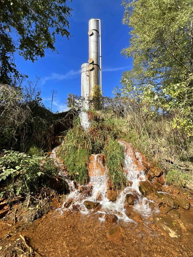
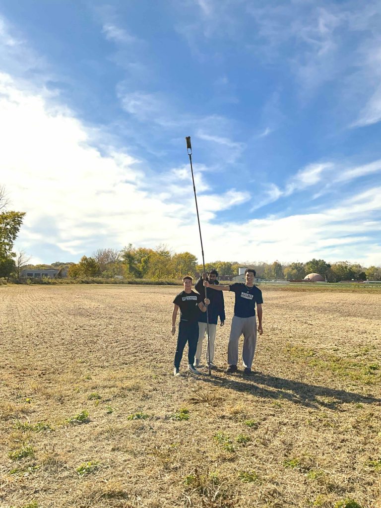
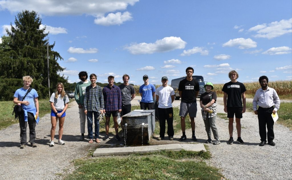
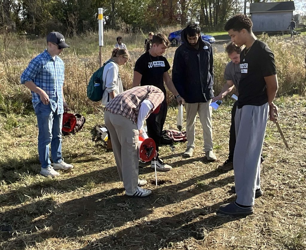 Our primary objective was measuring water levels in the confined Wooster Aquifer, however here we are measuring the water table that is a perched aquifer on top of the clay. Just a kilometer aways is a BTEX plume on top of the clay that is actively being remediated.
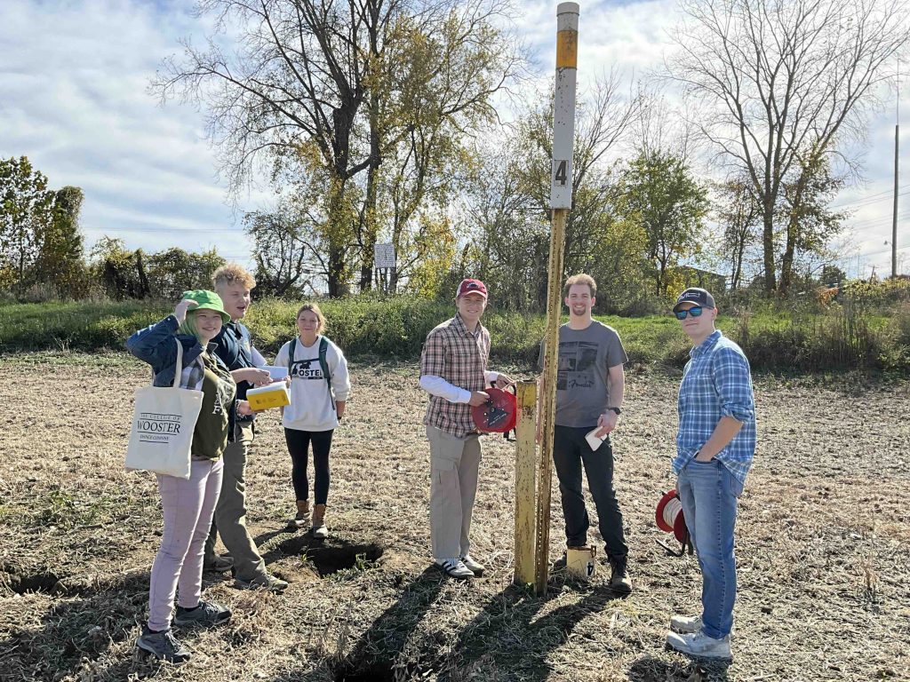 The observation wells are all completed in the confined Wooster aquifer, and here the team is sneaking up on observation well #4. The levees to Apple Creek are in the background.
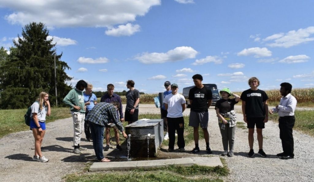
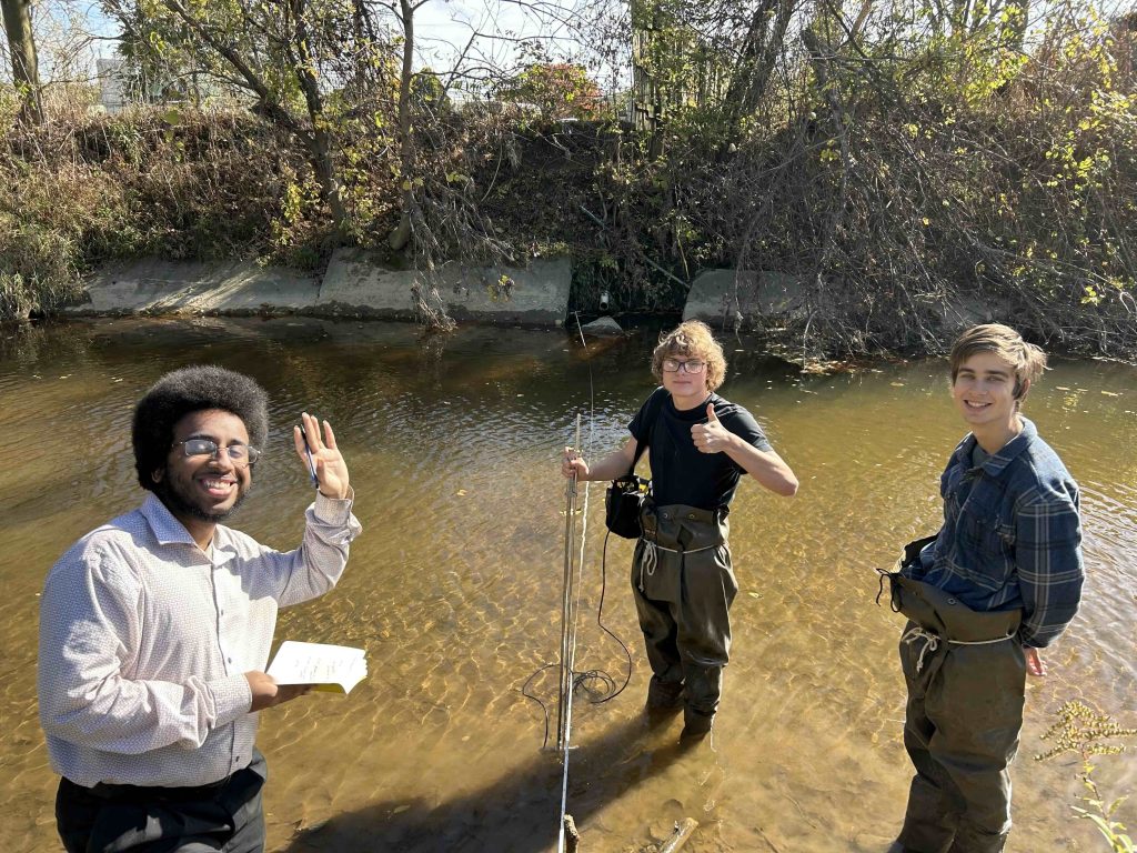 We also had a team in the Apple Creek measuring discharge and probing the bottom of the stream for the clay confining layer. What a welcoming team of stream gaugers.
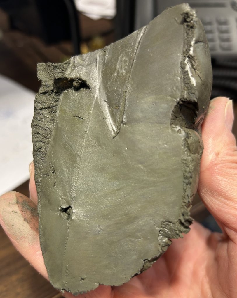
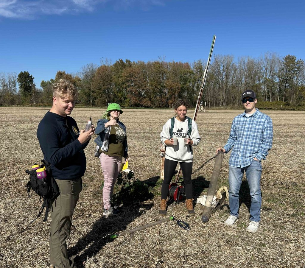 The team bailed a few of the wells to sample the water. We will obtain the stable isotopes of the various waters sampled to investigate the origin of the waters. This was last done by the USGS decades ago.
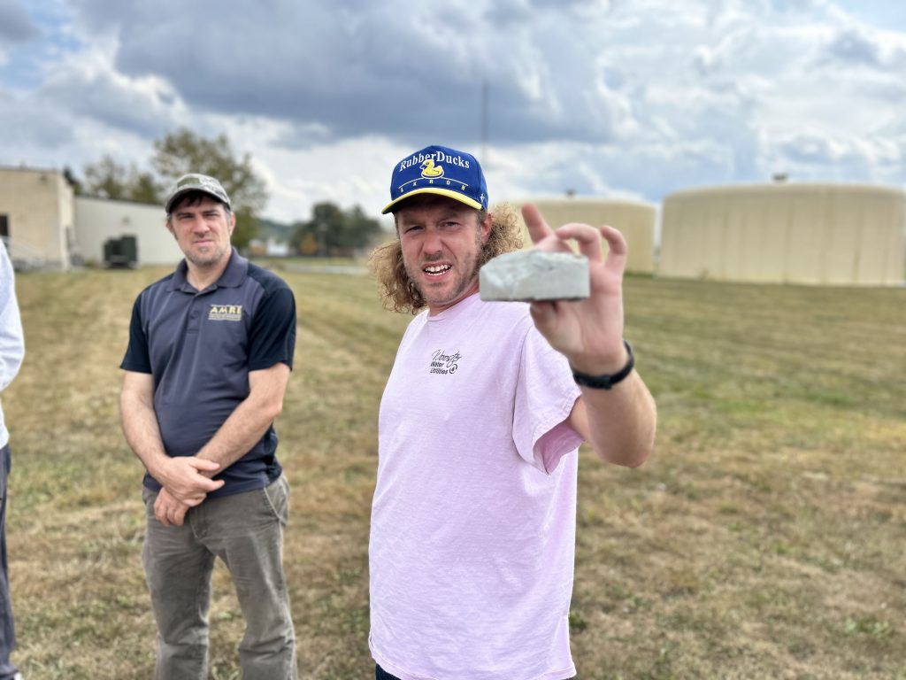
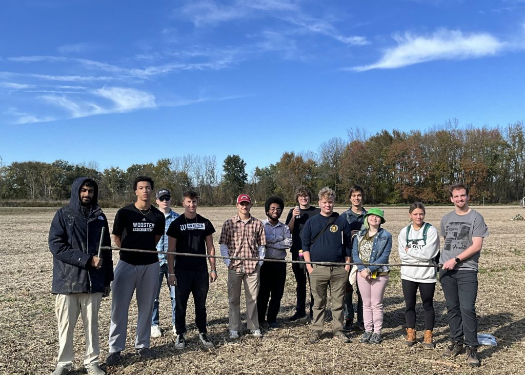
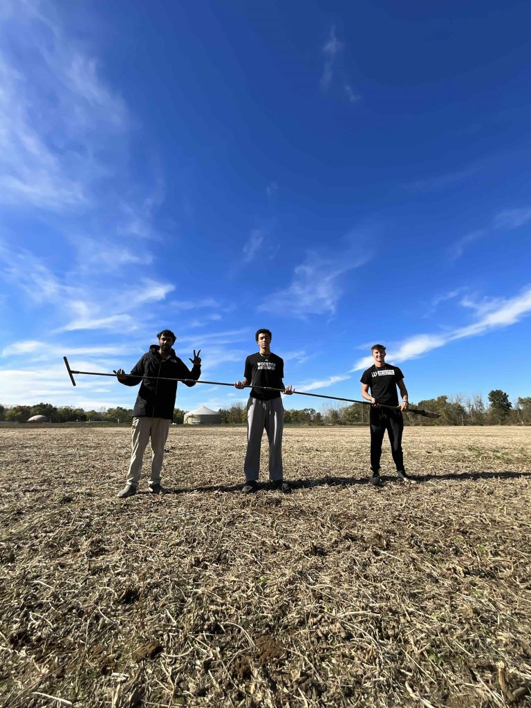 One last shot of the Auger team under a big Wooster sky with their feet firmly planted in a recently harvested no-till soybean field with the water treatment plant and its anaerobic digested in the far background.
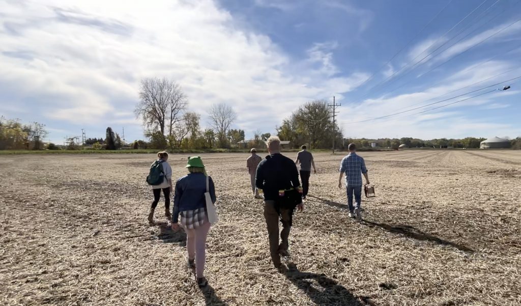
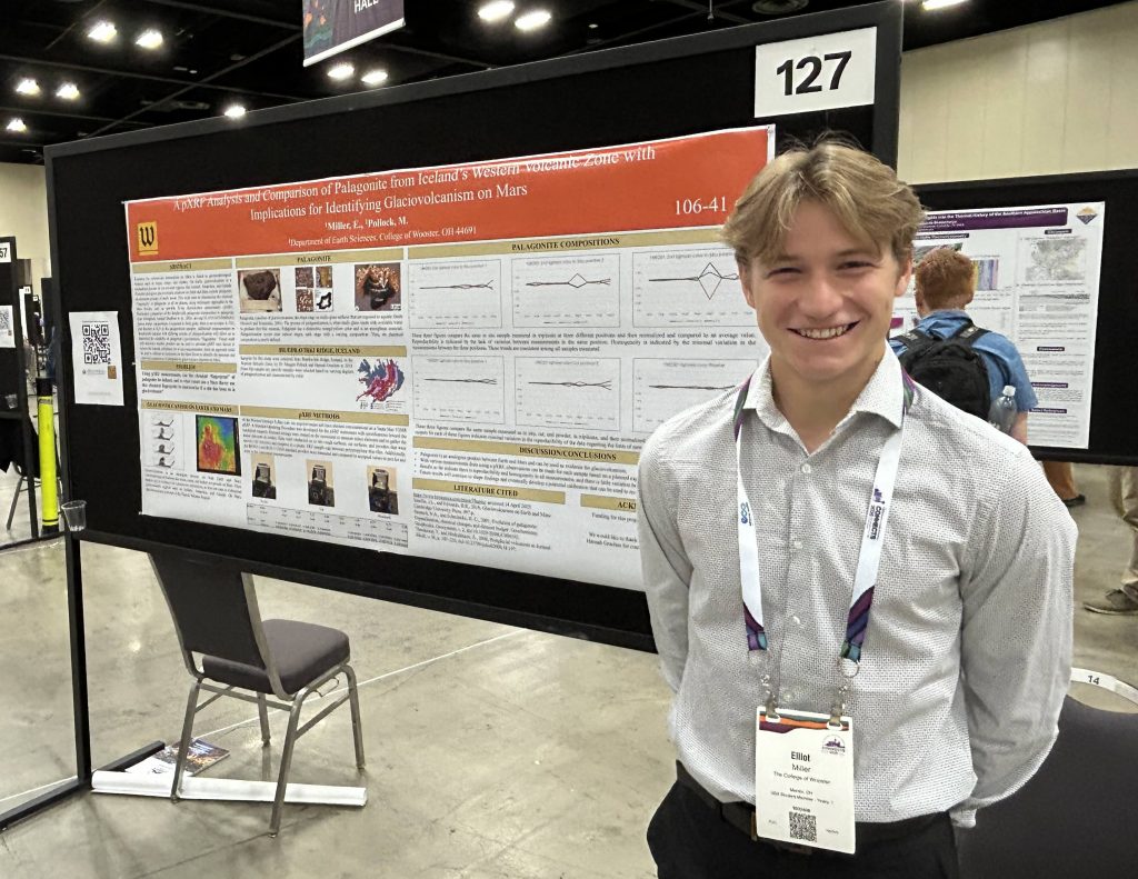
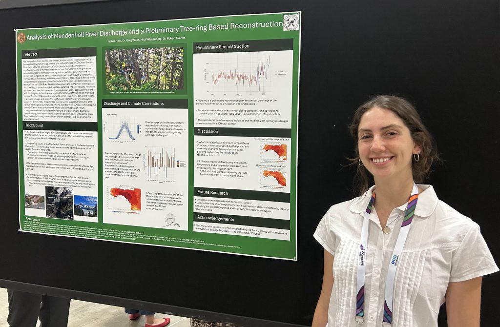
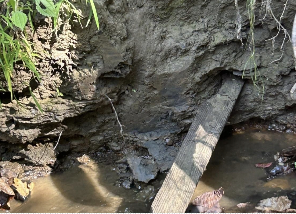
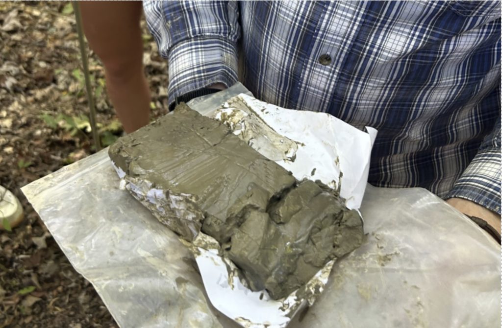

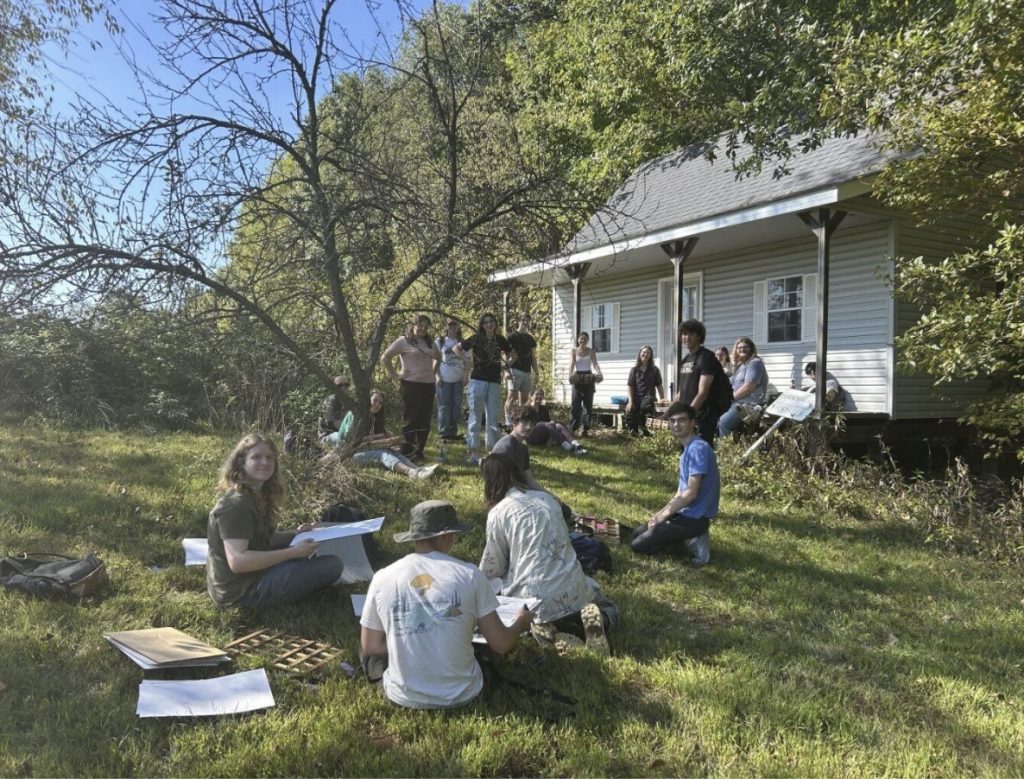

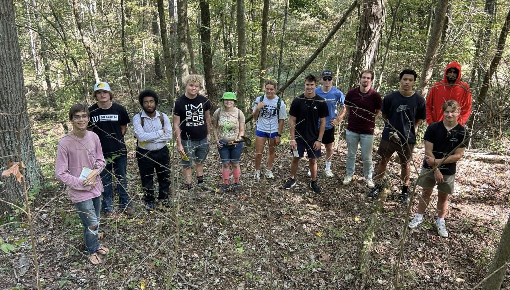
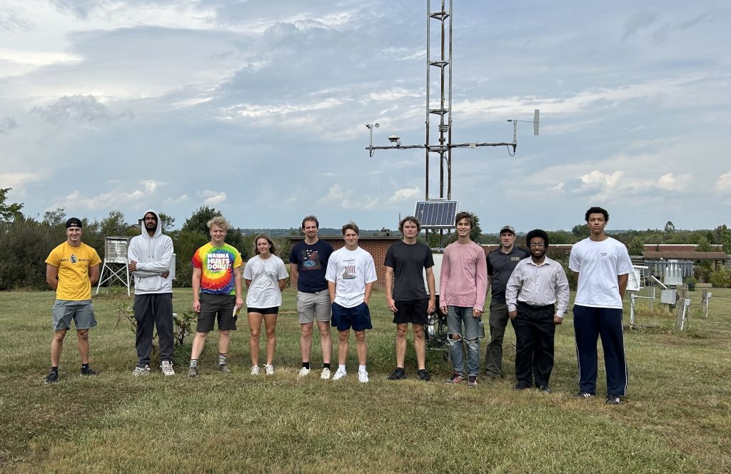


 Figure 5. One of three tanks that hold chemical solutions that are added to the water to purify it; this tank holds sodium hypochlorite.