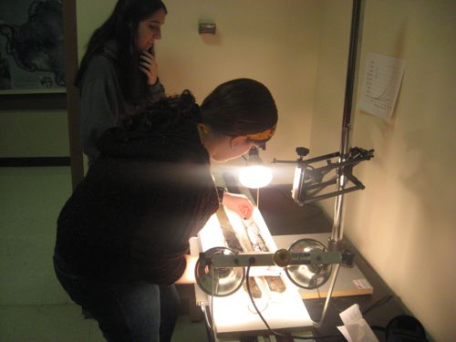
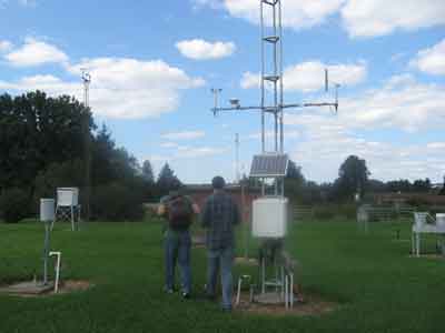
PORTLAND, OREGON–The Paleontological Society has a free short course program it runs on the day before the GSA meeting officially begins. When I began my career the topics were always about some taxonomic group such as “Brachiopods”, “Mollusks”, “Plants” and the like. The purpose was to gather a dozen or so experts on the topic and bring the participating paleontologists up to speed on the latest ideas and discoveries. As you might imagine, as useful as these sessions were, they often became dull recitations of anatomy and classification schemes.
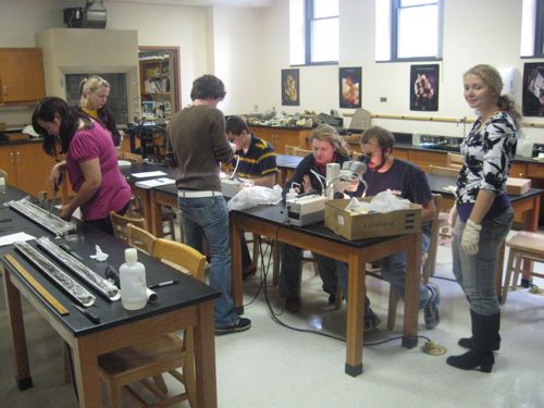
This began to change about a decade ago with short course topics which were more interdisciplinary and not taxa-specific. We began to talk about issues such as predation, paleoecology, preservation, evolution — subjects which appealed to all paleontologists by cutting across differences within the field and foregoing systematic details. These sessions have been very successful, keeping hyperactive paleontologists in their seats most of the day. (As with all geologists, they would rather be in the lobby telling stories and making summer field plans.)
Yesterday’s short course was titled “Conservation Paleobiology”. There was some confusion as to what this title meant before it started (is it about preserving specimens in collections? saving paleontological localities from destruction?), but once it began it was clear this would be a different course from all those which preceded it. Karl Flessa of the University of Arizona (and one of the short course leaders) invented the term for the “application of paleoecological and geochemical techniques to the analysis of the prehistoric and historic skeletal remains of species threatened with extinction.” In other words, the concept is to make paleontology and paleontologists important players in the attempts to limit environmental degradation and preserve ecosystems in this time of climate change, overuse of resources, pollution and overpopulation. Those who study the history of life have much to contribute to understanding current extinctions and other ecological changes. In the more irreverent words of Karl: “Let’s put the dead to work”.
The presentation I found most impressive was by Jeremy Jackson of Scripps Institution of Oceanography (and a bryozozoologist of great note, I might add!). In his talk entitled “Historical ecology for the paleontologist”, he emphasized how much our baselines of what we expect to be “normal” for an ecosystem have shifted “beyond recognition from their formerly pristine state”. This shifting began with the first human interactions with the environment. The only way to deduce what “natural” ecosystems really were is through the fossil record. We have altered every environment on Earth to extraordinary degrees, each time shifting our baselines of what we thought it was like in some Edenic past. It was not a happy talk, that’s certain, but it did clearly lay out what contributions paleontologists must make to pull us back from the brink.