KÄINA, ESTONIA–It is not yet one of my regular bits of field equipment, and I am certainly far from an expert with its use, but I can say a few things about the value of an iPad in geological fieldwork. This summer I have used it in Israel, Poland and Estonia and it has served me very well.
Despite the dramatic photos here, I have used my iPad2 mostly indoors. It is by far the most convenient field library I have ever had. Laptops are great for storing and displaying pdfs of papers and maps, but it just can’t beat the convenience of simple taps on the iPad screen to pull up astonishingly clear text and images. I use PDFReader Pro so I can easily zoom in and out on the screen with the classic Apple two-finger move. I add documents to this reader and others with Dropbox (recommended to me by Lisa Park), which has the advantage of syncing with all my other computers. (I seem to have more than a few now.) It has never been easier in a remote location to read documents and share them with students and colleagues. My trusty MacBook Pro seems terribly primitive for reading now.
Although I haven’t used them on this trip, I want to mention the excellent geological map programs of Integrity Logic. I have map programs for California, Utah and Ohio. Each comes with 25 layers, including bedrock geology, roads, mines, earthquake epicenters and much more. They are essentially GIS products for the iPad and iPod. I’ve found them most useful when traveling through (or flying over) a region I want to know more about.
For making typed notes indoors and out, I like the app Evernote because the typing is intuitive and it does a good job of correcting my mistakes. I would not use this for serious writing (I can’t yet break free from the laptop for that), it is good for quick notes and, astonishingly, audio recordings and photographs through the iPad camera. I can, if I want, easily talk about an outcrop to my iPad and have it archive my precious words. (I haven’t yet.)
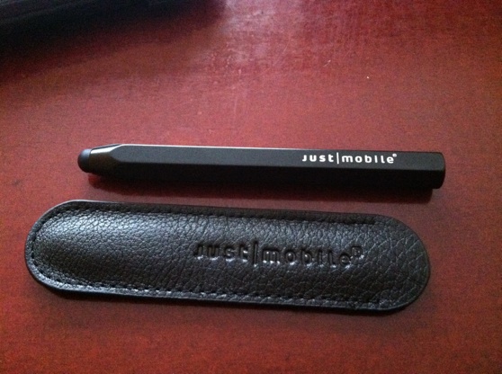
I use Bamboo Paper for sketches in the field and with colleagues around the dinner table. It is great for outlining crazy ideas in six colors. As with Evernote, the results can be emailed from the iPad. (Although I must say, I haven’t made any such notes worthy of leaving the device!) By the way, for sketching I very much like the Boxwave Stylus rather than relying on my fat fingers.
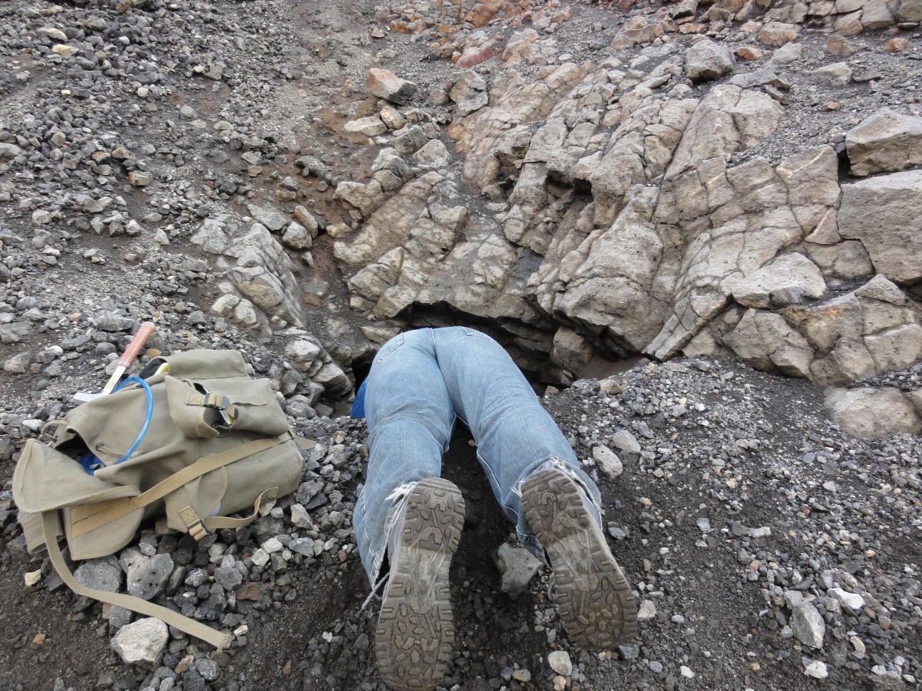
There is a behavioral barrier I’ve had to overcome before taking my iPad into the field itself. Carrying this precious machine in my backpack along with hammers, chisels, water bottles and, eventually, bags of rocks seemed a bad idea. I have a protective cover for the screen, but no sealed box for the whole iPad. I know they’re out there, but I haven’t found one I like. Instead I seal it into a separate pocket as far away from hard, sharp and wet things as possible. So far, no problems, but I hesitate pulling it out in the wilderness with all those hazards for electronics. I’ll get more accustomed to it, I’m sure. (Although I still feel that way about my camera.) Of course, no one would use an iPad in the rain — another reason I don’t work in Iceland.
The most useful apps in the field are again PDFReader Pro for accessing documents downloaded through Dropbox, Evernote and Bamboo Paper. I have been experimenting with Sketchbook Express for taking photographs in the field with the iPad and then annotating them on the spot. It is a very useful way to remember something visual, and the images can be exported out through email. Again, none of these jottings are publication quality — they are quick notes to myself. There is much potential in this latter application for more sophisticated field observations and records.

Taking an image of an outcrop with the iPad camera and then annotating it with Sketchbook Express.
Example of an annotated field image. Not brilliant because it is intended for my own notes alone. (The blogger's dilemma.)
Finally, general iPad apps I like as a geologist include Disaster Alert (realtime maps of disasters around the world), Sunrise Clock (especially helpful when you’ve crossed significant amounts of latitude!), Google Earth (of course), Star Walk (for starry nights), various language translation programs (I try), and GW Mail (for Groupwise email accounts — easier than accessing through a computer).
Again, I’m just starting with the iPad so I know there is much I’m missing. It has not replaced my laptop (I can’t write blog posts with it, for example), so I’ve actually increased the electronics I carry around on trips. I had an awkward moment in the Tel Aviv airport when a security officer looked at my US cell phone, Israeli cell phone, iPod, iPad, Macbook Pro, and GPS and asked why I needed all these things! Indeed. The future no doubt will have some sort of iPad-like device that does it all.
Feel free to add information and ideas through the comments below!
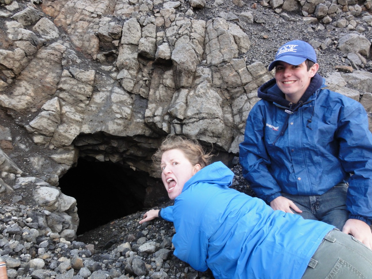
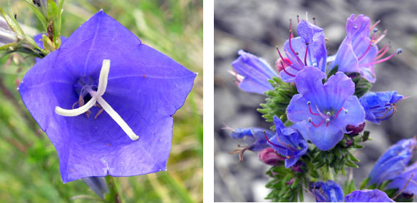
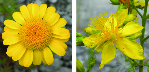
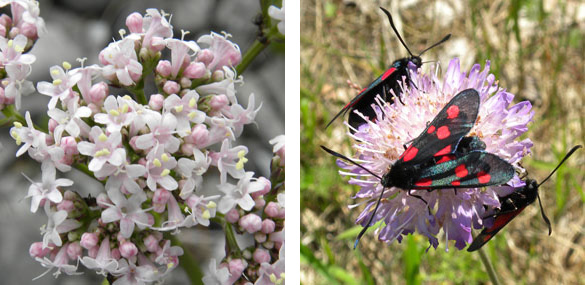
(Photos courtesy of Rachel Matt.)


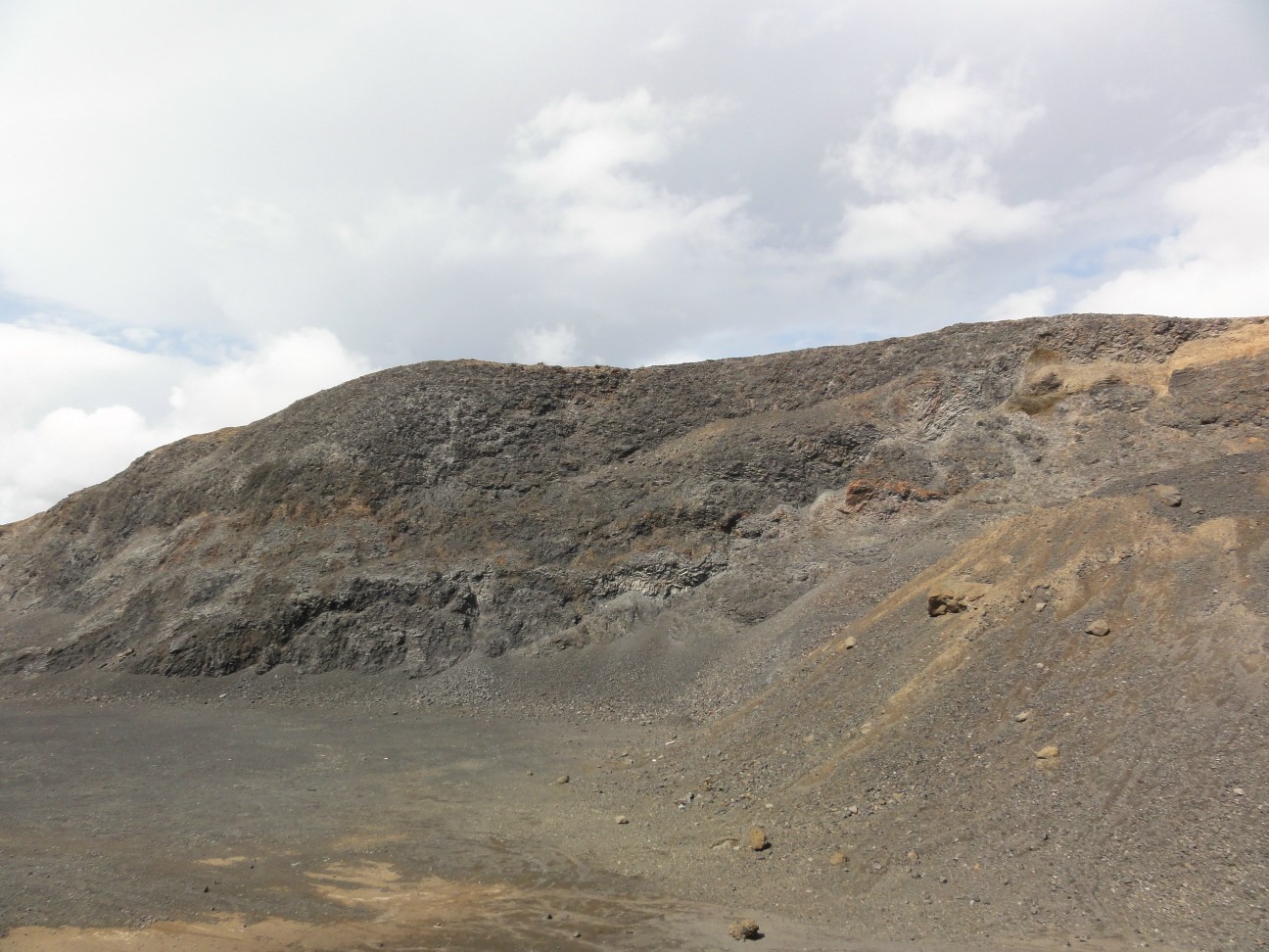
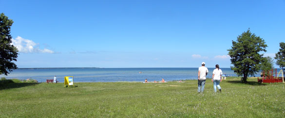
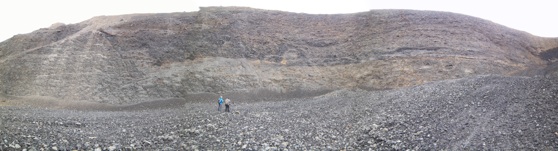
 KURESSAARE, SAAREMAA, ESTONIA–The Wooster Geologists Estonia Team today braved the Baltic Sea again and took a ferry from the island of Hiiumaa to return to their previous field sites on the island of Saaremaa. We worked at Soeginina Cliff on the western coast (shown above) to finish up Nick Fedorchuk’s Independent Study field research on the Wenlock-Ludlow (Silurian) erosional sequence. It was a fun day because we now have hypotheses to test about these rocks and fossils. More on those later.
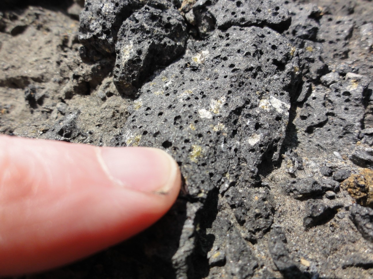
 The above rock shows an advantage we have studying exposures on rocky coastlines. The waves erode blocks of limestone from the cliff and polish them up on the boulder-strewn beach. We can thus see our rocks in three dimensions rather than just the flat cross-section we would normally have. The trick, though, is to know from where in the section the boulders were derived!
 We found some excellent sections through the numerous oncoids in our outcrops as well. We saw that many are formed around gastropod (snail) shells — very much like a Jurassic version I recently described as one of Wooster’s Fossils of the Week.