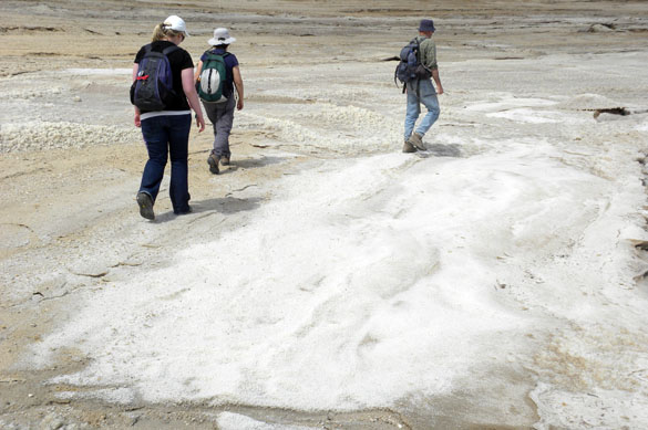
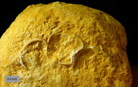
 These fossils of the week, three well-worn cemented oysters, are highlighted to celebrate the final acceptance this past week of a manuscript that describes their geological setting and significance: Wilson et al., 2012 (see reference below). They are attached to a cobble found at the base of the Menuha Formation (Santonian) near Makhtesh Ramon in southern Israel. These oysters represent the many sclerobionts that inhabited these cobbles. Here is the abstract of the paper:
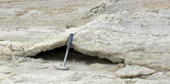
Reworked concretions have been significant substrates for boring and encrusting organisms through the Phanerozoic. They provide large, relatively stable calcareous surfaces in systems where sedimentation is minimal. Diverse sclerobiont communities have inhabited reworked concretions since the Ordovician, so they have been important contributors to our understanding of the evolution of these ecological systems. Here we describe reworked concretions from southern Israel where they are critical for interpreting the stratigraphy and paleoenvironment of an Upper Cretaceous sedimentary sequence. These cobble-sized concretions (averaging roughly 1000 cubic centimeters) are found at the base of the Menuha Formation (Santonian to lower Campanian, Mount Scopus Group) unconformably above the top of the Zihor Formation (Turonian-Coniacian, Judea Group) exposed in the Ramon region of the Negev Highlands. The concretions are almost entirely composed of micritic limestone, and many are exhumed cemented burrow-fills apparently from 10-20 meters of upper Zihor Formation strata removed by erosion. There are also a few cobbles of dolomitic limestone and rare vertebrate bone. The cobbles are moderately to heavily bored by bivalves (producing Gastrochaenolites) and worms (forming Trypanites), and a few have cemented oysters. They are densely arrayed in a single layer, often touching each other or only a few centimeters apart. The sclerobionts associated with the cobbles, along with their hydrodynamic arrangement, strongly suggest that these cobbles accumulated in very shallow water above normal wave base. Most of them (77%) are encrusted on their top surfaces only, indicating that they were bored in place and not later delivered to a deeper environment by submarine currents. The rest of the Menuha Formation above is a chalk with relatively few macrofossils (primarily shark teeth and oysters) and a few trace fossils (Planolites and Thalassinoides are the most common). These reworked cobbles show that the initial deposits of the Menuha Formation accumulated in very shallow water. This has important implications for the development of the Syrian Arc structures in this region, especially the Ramon Monocline.
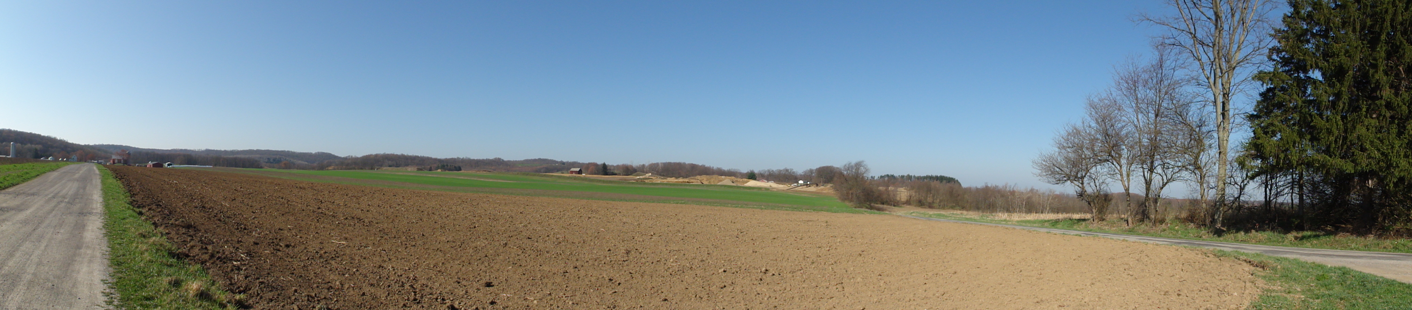
 Two cobbles in their natural setting: embedded in the chalks at the base of the Menuha Formation.
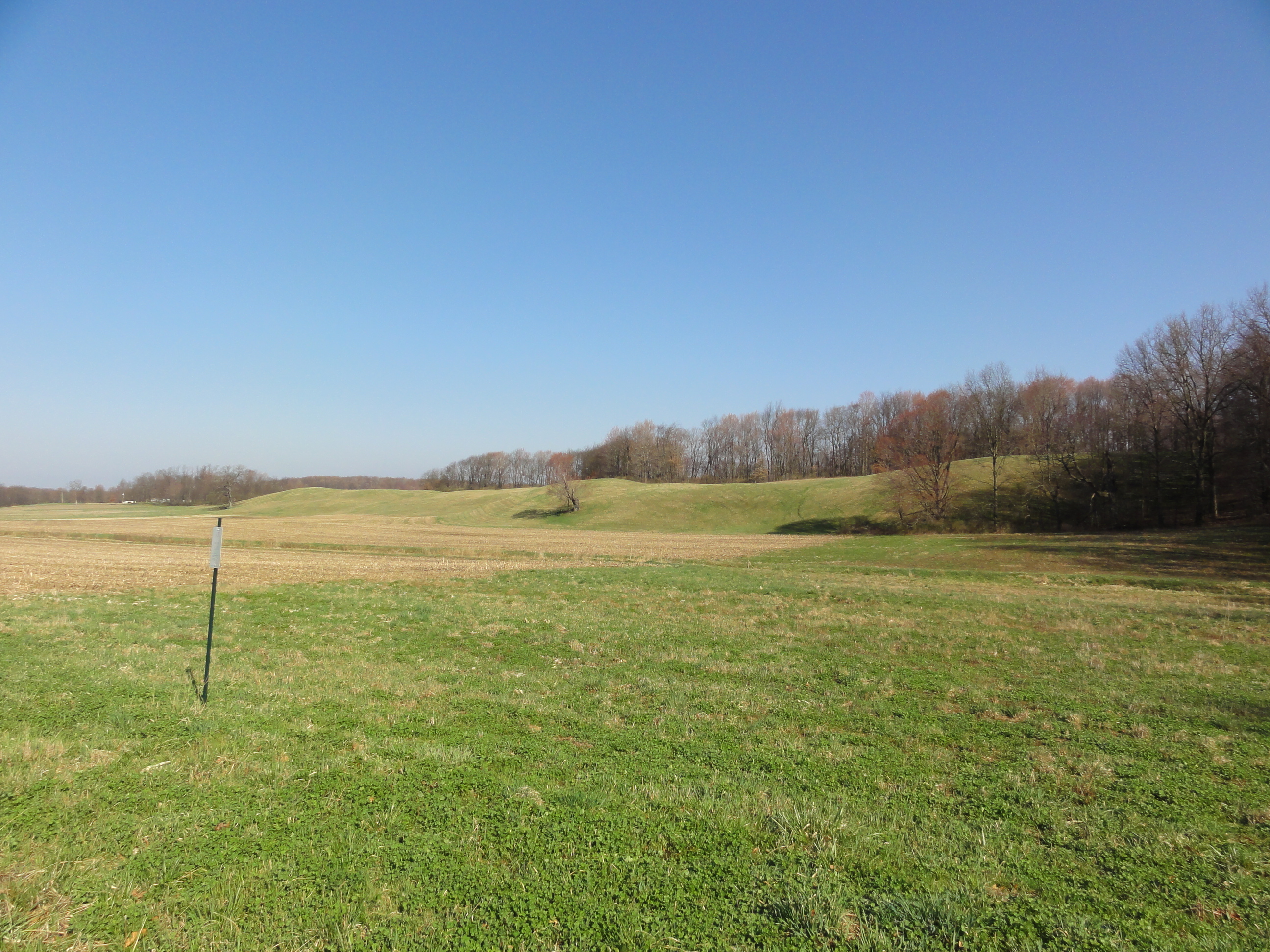
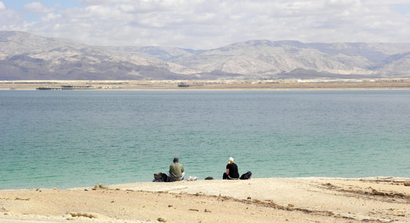
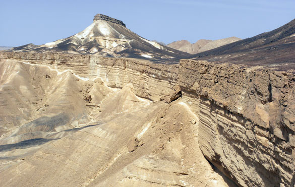 The beautiful setting south of Makhtesh Ramon. The cliff is an exposure of the resistant Zihor Formation; above it are the white slopes of the far less resistant chalky Menuha Formation. The cobbles are found at the base of the Menuha.
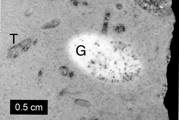 A figure from the manuscript itself showing a cross-section of a cobble. The “T” indicates a Trypanites boring; the “G” shows a Gastrochaenolites boring.
Thank you again to Wooster alumni Micah Risacher and Andrew Retzler and current student Will Cary for helping us collect these specimens!
Reference:
Wilson, M.A., Zaton, M. and Avni, Y. 2012. Origin, paleoecology and stratigraphic significance of bored and encrusted concretions from the Upper Cretaceous (Santonian) of southern Israel. Palaeobiodiversity and Palaeoenvironments (in press).