FILLMORE, UTAH – [Guest bloggers Matt Peppers and Will Cary]
As Dr. Wilson so kindly stated in his last blog post, the Utah group arrived safely at Salt Lake City International Airport on Saturday, June 2. After stopping briefly at a Target to get various essentials, we finished our two-hour drive at Fillmore (see here for how the drive went), the town we will reside in for the next two weeks. We are staying at a KOA Kampsite in some kozy little kabins. After getting acquainted with the campsite layout, we explored some of the finer cuisine options, finally settling on Larry’s Drive-In Diner across the road. Will tried a marshmallow milkshake that gave him enough sugar to power through the jet lag associated with the time zone change. After a filling meal, the group headed back to the campsite for a quick group meeting to go over the schedule for Sunday, which promised to be an orientation day to the Black Rock Desert and what we could expect. Following the meeting, everyone felt the effects of travel and promptly retired to their respective cabins for the evening.
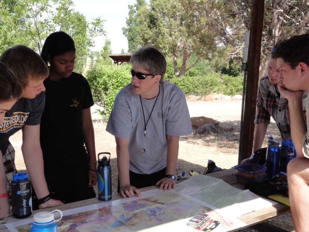
Dr. Judge lays out the maps for our field site.
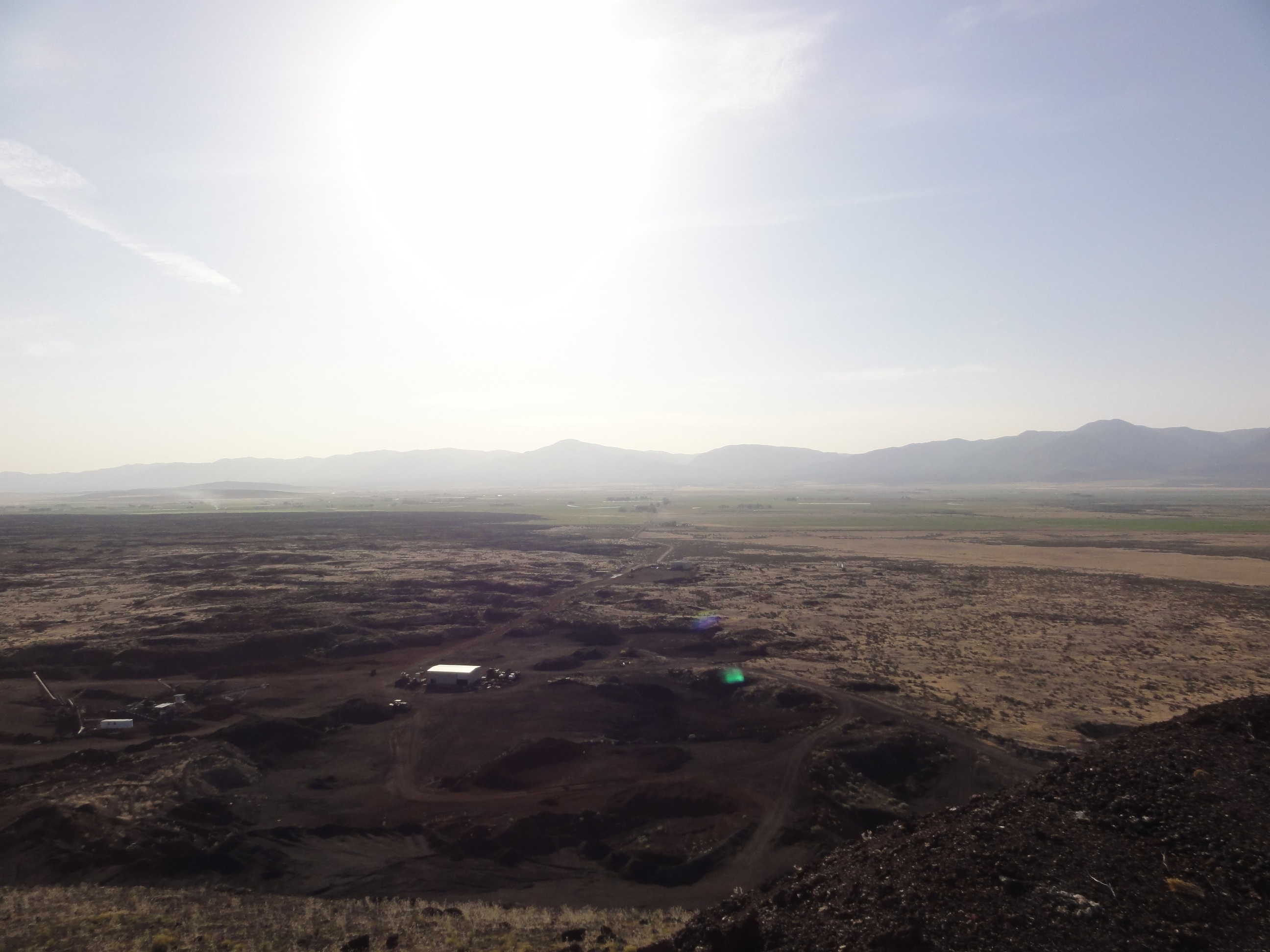
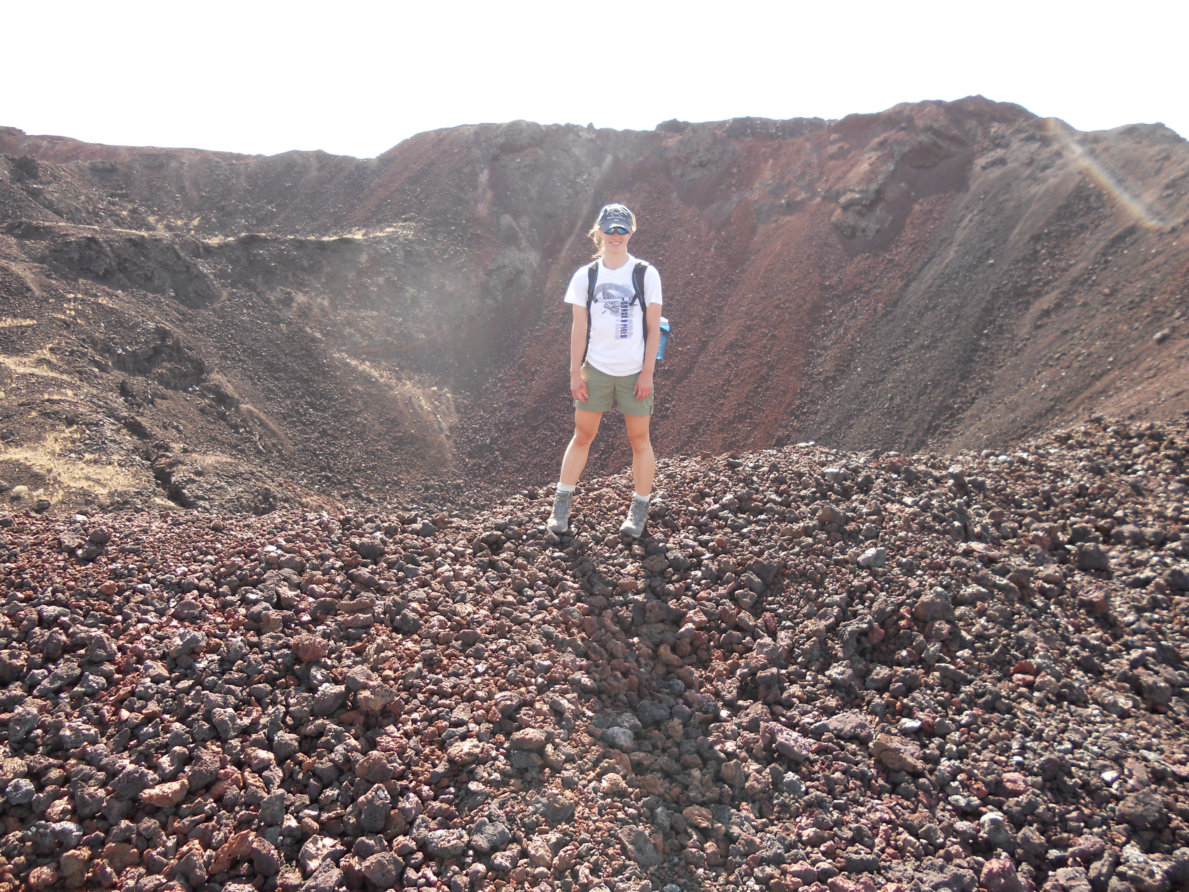
The next morning, the group met at 9:30 to pack lunches for the day followed by an overview of equipment and safety precautions that we would need for our fieldwork. With backpacks set up, we gathered as much water as we could carry and set out to our first meeting with the Black Rock Desert. We drove directly west out of Fillmore and, although we couldn’t get onto it, saw Ice Springs, our future field site. We drove around the flow front boundaries and were impressed by how distinct and steep the boundaries actually were. Because today was an orientation day, we set out to find some lava tubes in the Tabernacle Hill lava field. Although we were unsuccessful in locating them, we had some good experience using the GPS units. In addition, we spent a lot of time looking at pressure ridges in the lava field, which adds additional complexity to some students’ projects.
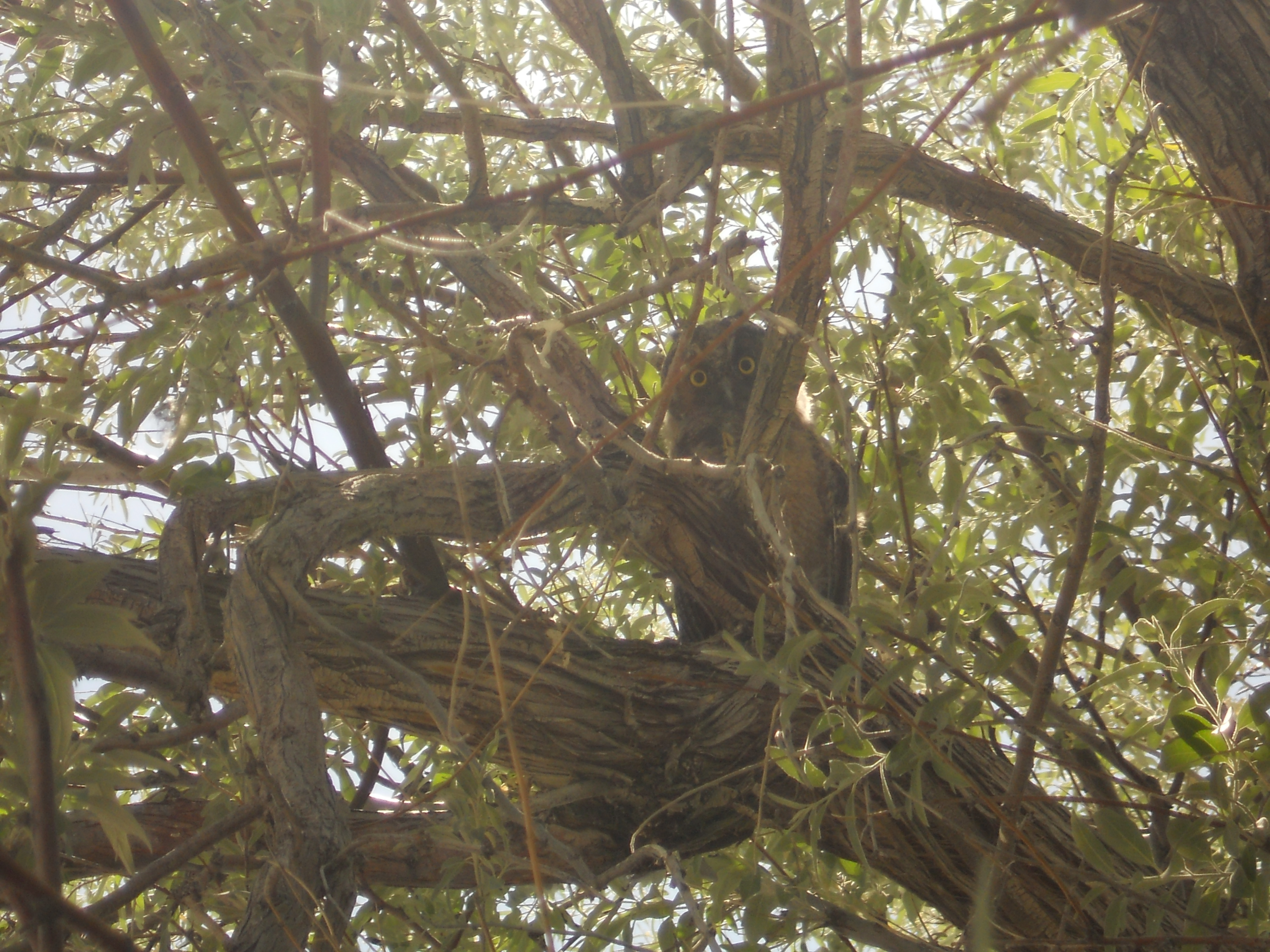
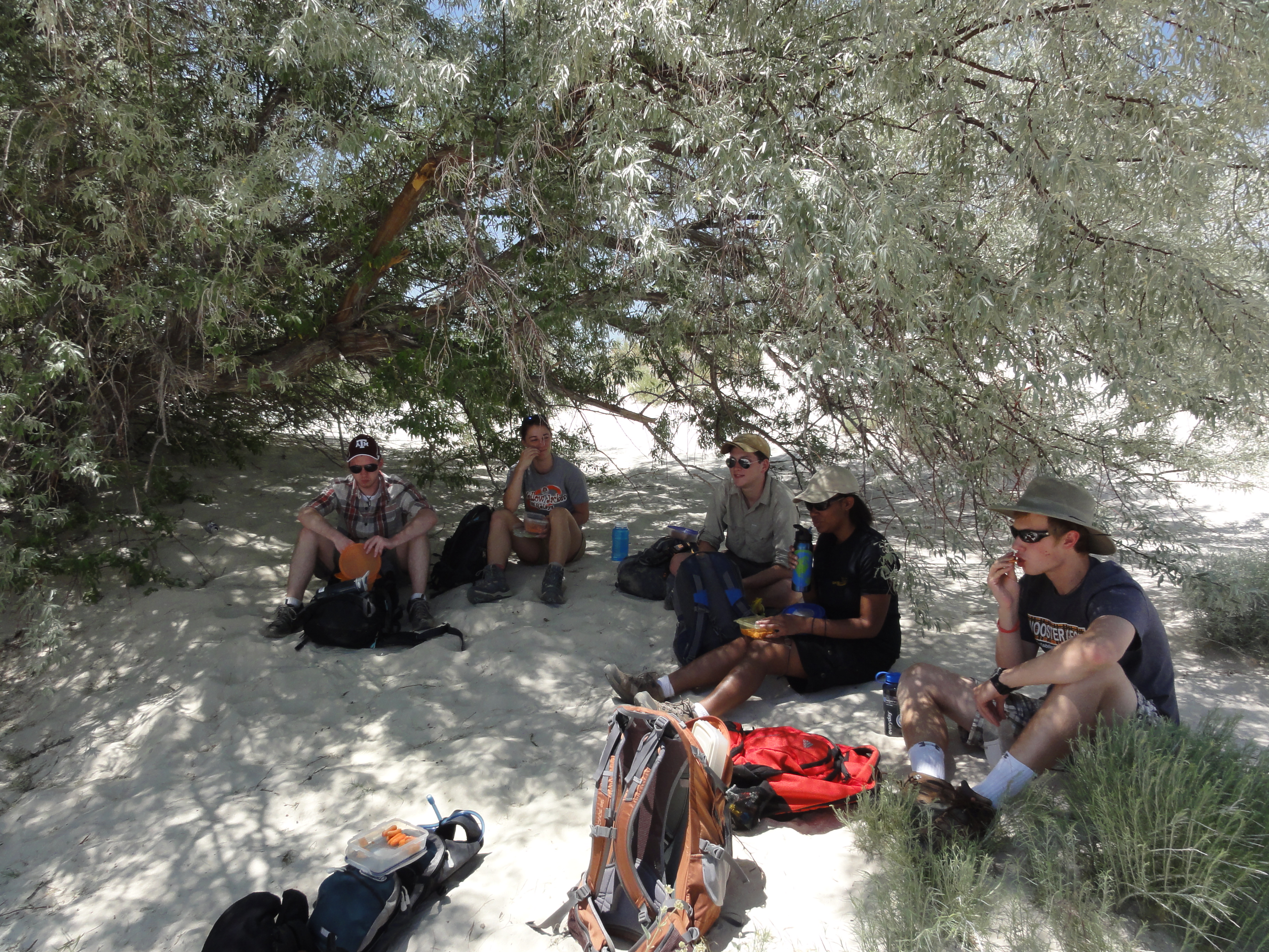
Admitting defeat in finding the lava tubes (and questioning the signage that lead us to that area), we drove on to White Mountain, a hulking mass of gypsum sand a few minutes away. Looking for a place to get out of the 93° heat to eat our lunches, we headed to the one tree we had seen in the entire trip. Stepping out of the car almost had us believing we were in the Bahamas, and the white sand proved a pleasant place to sit. As we moved under the shade of the tree, two small owls flew out from its branches. Waiting cautiously in the leaves above us were three more owls, who seemed upset that we interrupted their lunch with our lunch (3 dead mice taunted them from next to where we were sitting).

The glare of someone who's had his lunch interrupted.

Imagining we are in the Bahamas.
After getting back into the car, we asked Dr. Judge and Dr. Pollock what our next stop would be. Getting only a, “Classified” as a response, all we could do is bounce around in the back of the car down a dusty road. We were pleasantly surprised when the trip ended at a natural hot spring. We eagerly climbed out of the car and jumped in.
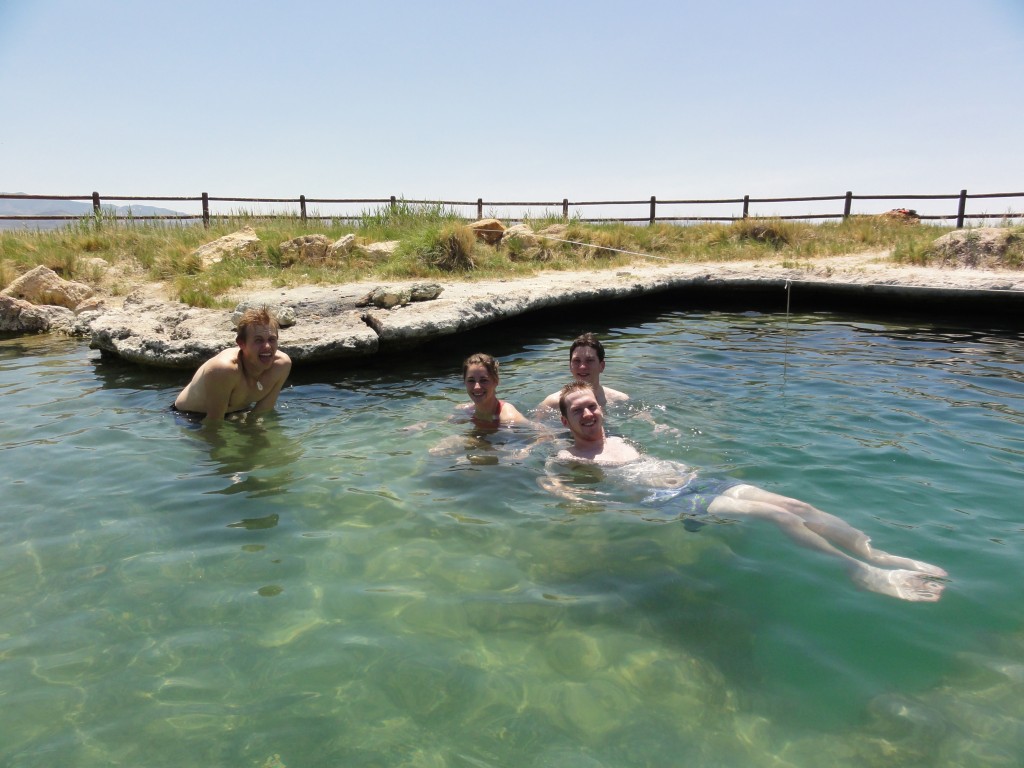
Nature's gift.
We continued our first full day by taking a quick stop back at the campsite for a change into dry clothes before heading to meet Dr. Wilson’s, aunt, Ms. Sylvia Huntsman. She graciously welcomed us into her house where we played with her two dogs, Zeke and Bogey and ate delicious apple cobbler. When eyes started to droop from too much time sitting in a comfortable air-conditioned house, we excused ourselves to go eat more food. The fine cuisine of Fillmore proved itself once again at the “Garden of Eat’n.”
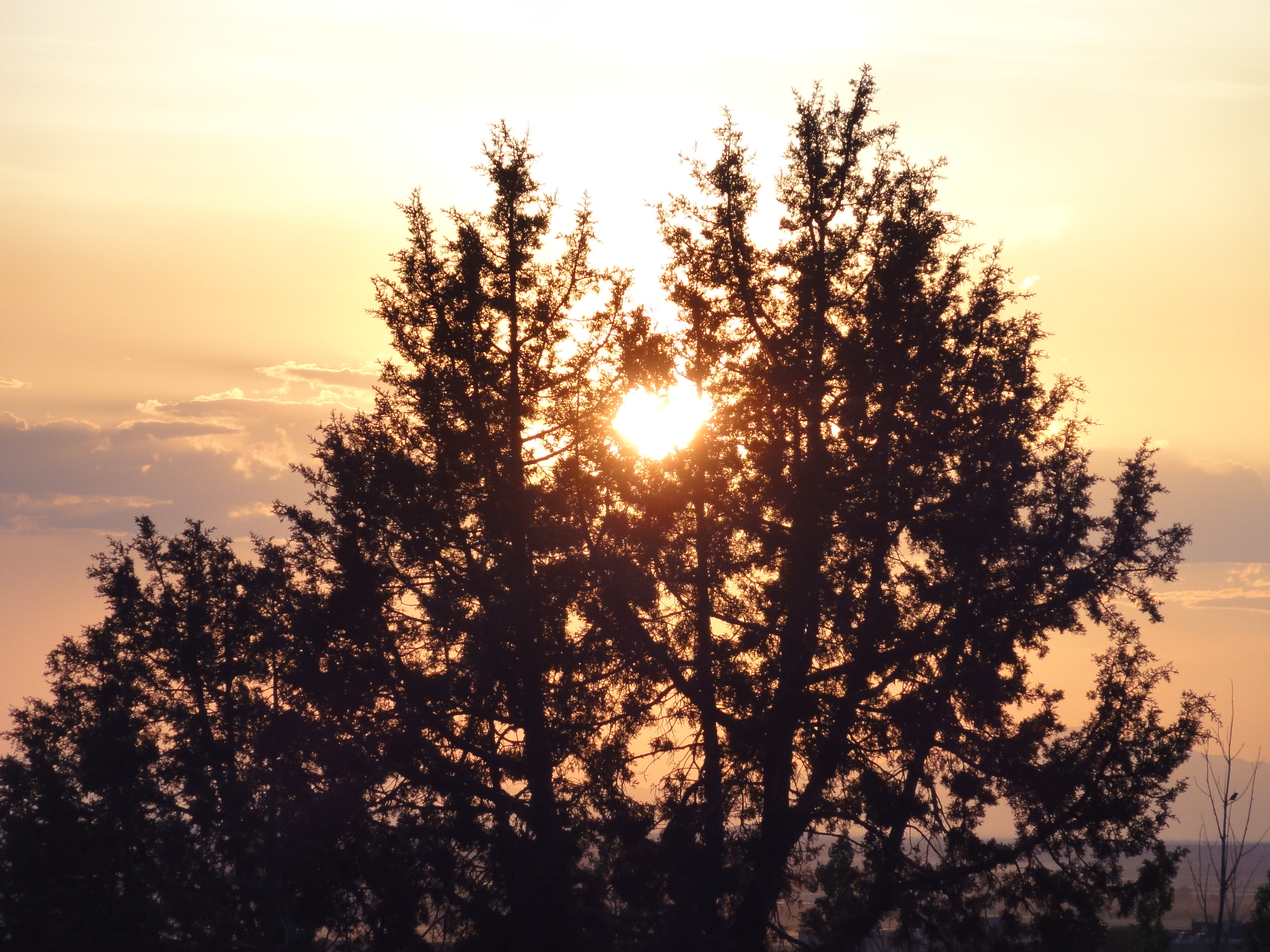
The first day ended with a final meeting back at the campsite to set a schedule for Monday (the 7 am departure time was a harsh return to reality) and a beautiful sunset.