The entire group at the On the Cutting Edge Workshop (Teaching Geoscience in the Field) spent a few hours in the field talking about various teaching strategies. Our field site for this exercise was the Bridger Range, and we climbed to Sacagawea Saddle. Fortunately, on the climb up, Terry Pavlis (structural geologist at UTEP) gave me a Trimble Juno with ArcPad to use so that I could try this digital mapping technology out in the field once again.
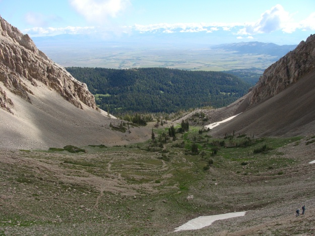
The view from Sacagawea Saddle was gorgeous, and we had a great conversation about teaching pedagogy at the top.

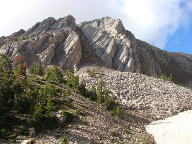
View of the Paleozoic carbonates that are wonderfully exposed along the climb toward Sacagawea Saddle. This area is in the Gallatin National Forest. Notice the huge talus pile and the remnant snow in the photo.

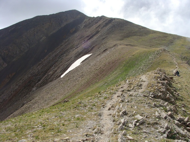
View of Sacagawea Peak from the Saddle. All of the rocks in the photo are the Paleozoic carbonates, which straddle the entire spectrum from lime mudstones to wackestones to packstones, grainstones, and boundstones. It was fantastic for me to walk through this thick Paleozoic sequence that had been caught up in thrusting and was now exposed in the Bridger Range. (By the way, Dr. Wilson, there sure are some great fossils here!!...Tabulate corals, rugose corals, brachiopods, crinoids, stromatoporoids, and yes -- even some bryozoans.)


You really are on the cutting edge, Dr. Judge! Very impressive scenery — and I love it when structural geologists notice fossils for more than just their deformation. Looks like fun! Your new technical expertise will help pull us old geologists into the new age of digital mapping.