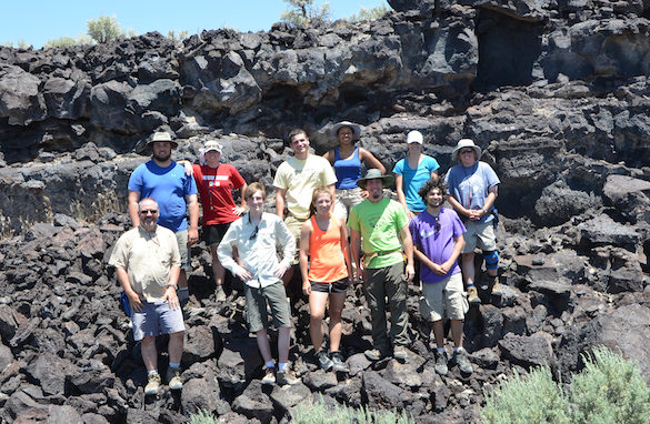
 MITZPE RAMON, ISRAEL–This morning Team Israel 2013 met our friend Yoav Avni, a geologist with the Geological Survey of Israel (GSI), and we traveled north to our field localities. We did a survey of the sites so that we could put together an efficient schedule for our work over the next two weeks. We had a four-wheel drive vehicle from the GSI so we could get to places our little Budget rental car could only have nightmares about.
The first locations were for Oscar Mmari’s Cretaceous phosphorite work. The outcrop pictured at the top of this entry is on the east side of Makhtesh Gadol (N 30.93657°, E 035.03312°). We are looking toward the west at an incredibly asymmetric limb of a syncline. In the upper part of the exposure you can see the rocks dipping almost vertically, yet in the foreground they are nearly horizontal. They make an almost 90° bend. The Mishash Formation phosphatic zone is partly exposed as the white rocks along the side of the wadi. The phosphorites here are very thick and chalky.
 A second phosphorite exposure for Oscar is in Wadi Havarim (N 30.84269°, E 34.75509°) not too far north of Mitzpe Ramon. The top of the cherty portion of the Mishash Formation is on the left in the middle; the light-colored units above are phosphorites. In the background is Nahal Zin, a deep valley formed by water draining north into the Dead Sea. The base level of the Dead Sea is so low that the wadis leading to it are rapidly downcut.
 Here is Oscar getting is first look at the phosphorites at Wadi Havarim. Later this week we will measure at least one section at each locality and take plenty of samples for thin-sectioning and scanning electron microscopy.
 Steph Bosch’s hand gives us a scale for a nice set of trace fossils found in the phosphorite at Wadi Havarim. These look like callianassid shrimp burrows to me. We found some preserved as burrow-fills with apparent fecal pellets forming the outer walls. If true then the trace fossil ichnogenus is Ophiomorpha. This is a good indicator of shallow water.
 We also briefly visited two phosphate mining sites east of Makhtesh Gadol. One has this helpful sign outside describing the geology of these deposits. The phosphorites are shown in yellow. Note that they formed in two synclines, both highly asymmetrical (as shown in our top photo).
 We viewed one phosphate mine where virtually the whole valley has been quarried, producing enormous piles of waste materials. Reclaiming mined terrain like this is especially difficult in this arid climate. Oscar will not only be looking at the geology of these phosphate deposits, but also the economics of mining, which now includes remediation and controls on emissions and water pollution.
 After lunch we drove down into the center of Makhtesh Gadol and plotted out future localities for Steph and Lizzie to do their work in the Matmor Formation. (The above site is at N 30.93837°, E 34.97907°.) I’ve been to these sites many times with students, so it was relatively easy to make our plan for collecting crinoids and encrusting bryozoans tomorrow and next week.
 Finally, no fieldwork in Israel is complete without a touch of archaeology. Yoav took us into a Nabatean cistern and showed us the clever engineering (and strategic plastering) necessary to make this hand-cut cavern into a water trapping and storage facility. This cistern is cut into the Menuha Formation, a chalk unit very familiar to Andrew Retzler (’11). This cistern was originally made sometime between 100 BCE and 100 CE. After the nabateans it was used by the Romans, Byzantines and Arabs. It was last used by Israeli pioneers over 60 years ago.
Tomorrow we return to Makhtesh Gadol and work in the hot sunlight filling collecting bags with tiny bits of crinoids and assorted encrusters. We’ve had a very good start.
 MITZPE RAMON, ISRAEL–The concentrated effort of all four Wooster Geologists in Israel finally paid off in fossil bryozoans today. Steph Bosch (center) is studying the bryozoans of the Matmor Formation (Middle Jurassic) in Makhtesh Gadol for her Independent Study project. We have bryozoan specimens collected on earlier expeditions to the Matmor, but on this trip have been stymied in our efforts to add to the meager collection. Bryozoans are rare in these equatorial sediments, even though the diversity of other fossils here is very high. We want to describe this fauna for the first time and place it in its environmental and evolutionary context.
 A wider view of our collecting site in the Matmor Formation, with the northeastern wall of Makhtesh Gadol in the background.


