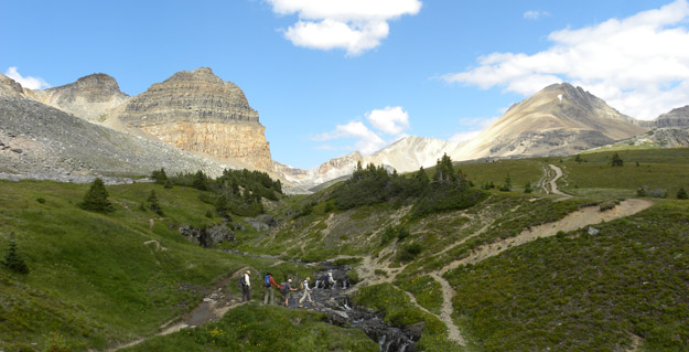
ROSH PINA, ISRAEL–This weekend my friends the Avni family took me on an overnight trip into the Galilee. It was spectacular and highly informative — they called it the “Mark Continues to Discover Israel” tour. The ostensible purpose was to attend a reunion of Noa Avni’s kibbutz school class, but we also took in numerous cultural, historical and geological (of course!) sites.
We drove from Mizpe Ramon on Friday afternoon north up the Rift Valley, following the west coast of the Dead Sea and then the west bank of the Jordan River to Tiberias on the Kinneret Lake (Sea of Galilee). We then continued north in the Galilee to a little town a few kilometers from Rosh Pina. We then had a barbecue dinner and conversations into the late evening before sleeping on mattresses in a grassy square. I asked many, many questions of my new Israeli friends (my Mother would be so proud) and learned much.
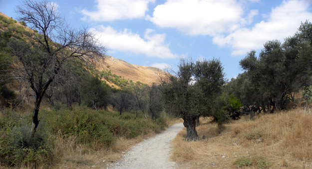
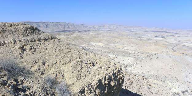
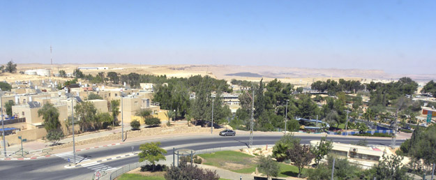
Looking into the Galilean hills from Rosh Pina along the very old road to Safed. Note the ancient olive trees and the gray rocks of the distant hills, which are Eocene limestones.
The next day we walked around the old part of the beautiful hillside city of
Rosh Pina (just down the mountain from Safed), talked to a man who runs environmental education programs, and had a long lunch with Yoav’s sister’s family in their hilltop home near Karmiel. We drove back down the Rift Valley to return to Mitzpe Ramon late this evening.

Rosh Pina from the Nimrod Viewpoint.
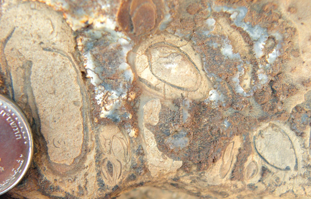
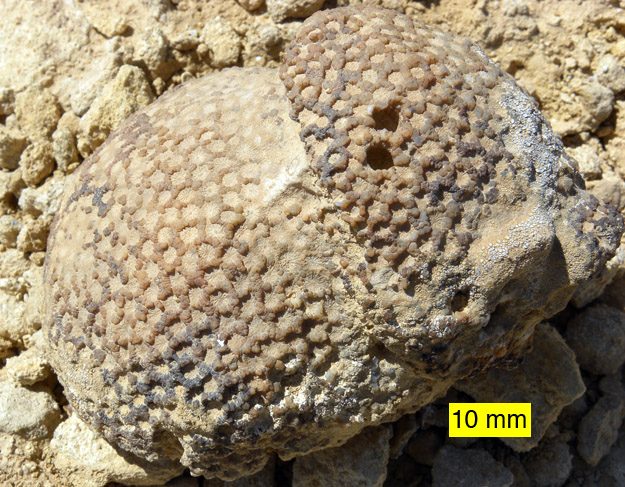
I was most impressed by the friendliness and candor of the people I met (I know — it is no surprise that Israelis are candid!), the lingering damage from the 2006 Hizbollah rocketing of northern Israel (mostly burned forests now and gaps in streets where there were once houses), the complex carbonate rocks which make up most of the hills in Galilee (my rocks in the Negev are much simpler), and the full moon tonight which rose bright red as its light passed through Saharan dust low on the horizon.
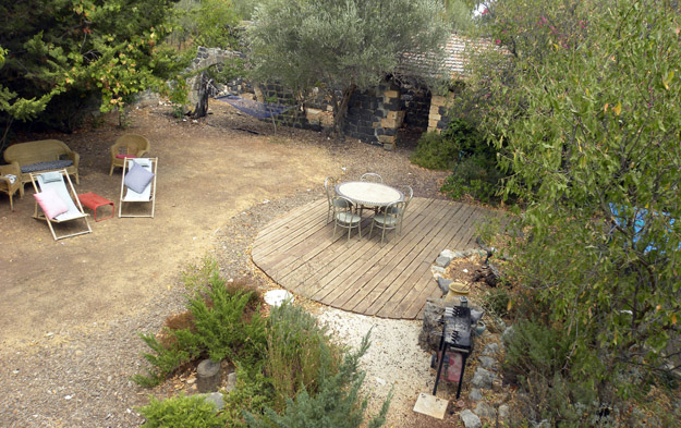
The delightful backyard of an environmental educator in Rosh Pina, Israel.