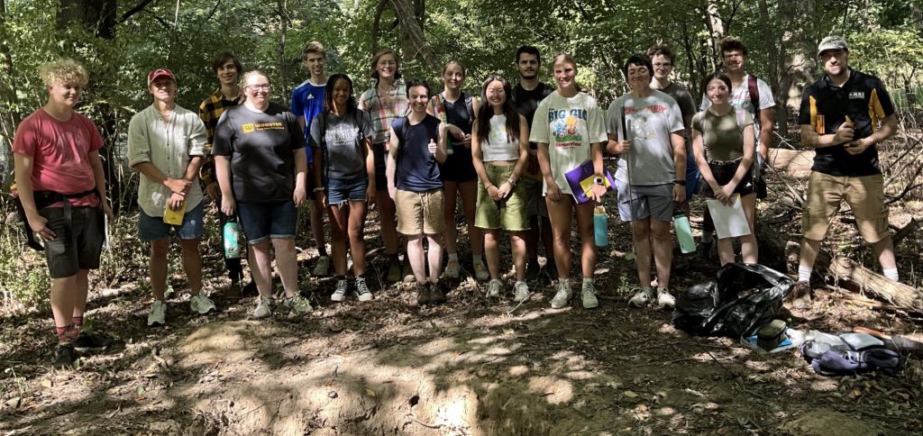
The group gearing up to describe and map soils in the old growth stand just east of the College Golf Course.
Guest bloggers: Lynnsey, Cate, Evie, Chanel, Lilly and Amanda
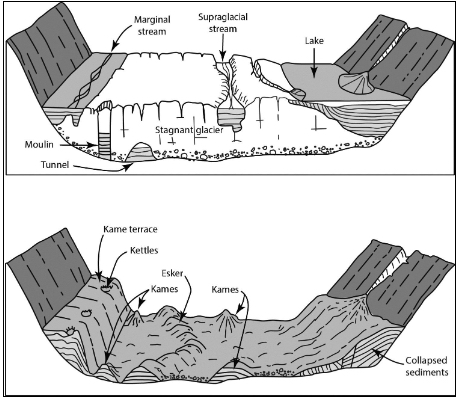
Figure 1. Diagram showing the formation of the glacial landform that the Wooster soils is formed on – it is a kame terrace with parent material of sand and gravel with a venerr of loess.
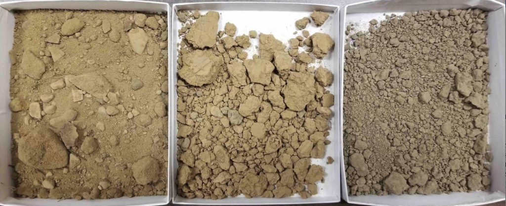
Figure 2 – the College golf course soils – they are mapped as the Wooster – Riddle silt loam and they are photogenic – the A horizon is on the right, B in the middle and on the left is the C horizon (partially weathered parent material).
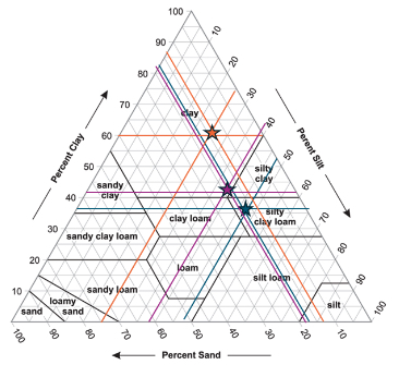
Figure 3. the stars on this ternary diagram are the A (orange star), B (red) and C (blue star).
Geochemistry of the soils (Figure 4):

- In the A horizon: Calcium and Phosphorus build up from fertilizers used applied to the nearby golf course
- Sodium likely from road salt
- Barium, Cobalt, Sulfur, Manganese and Lead from past coal burning in the former campus coal plant t
- In B horizon: Translocated Aluminum and Iron
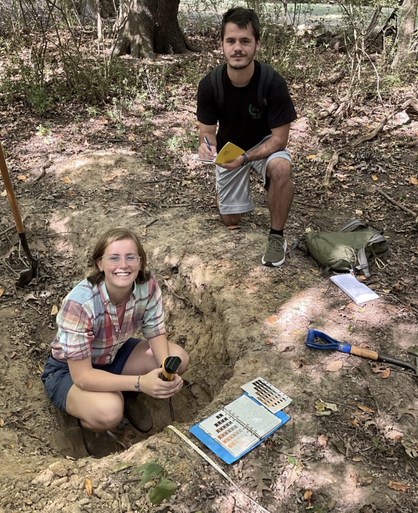
Figure 5. Describing the soil in the pit and taking measurements of magnetic susceptibility.
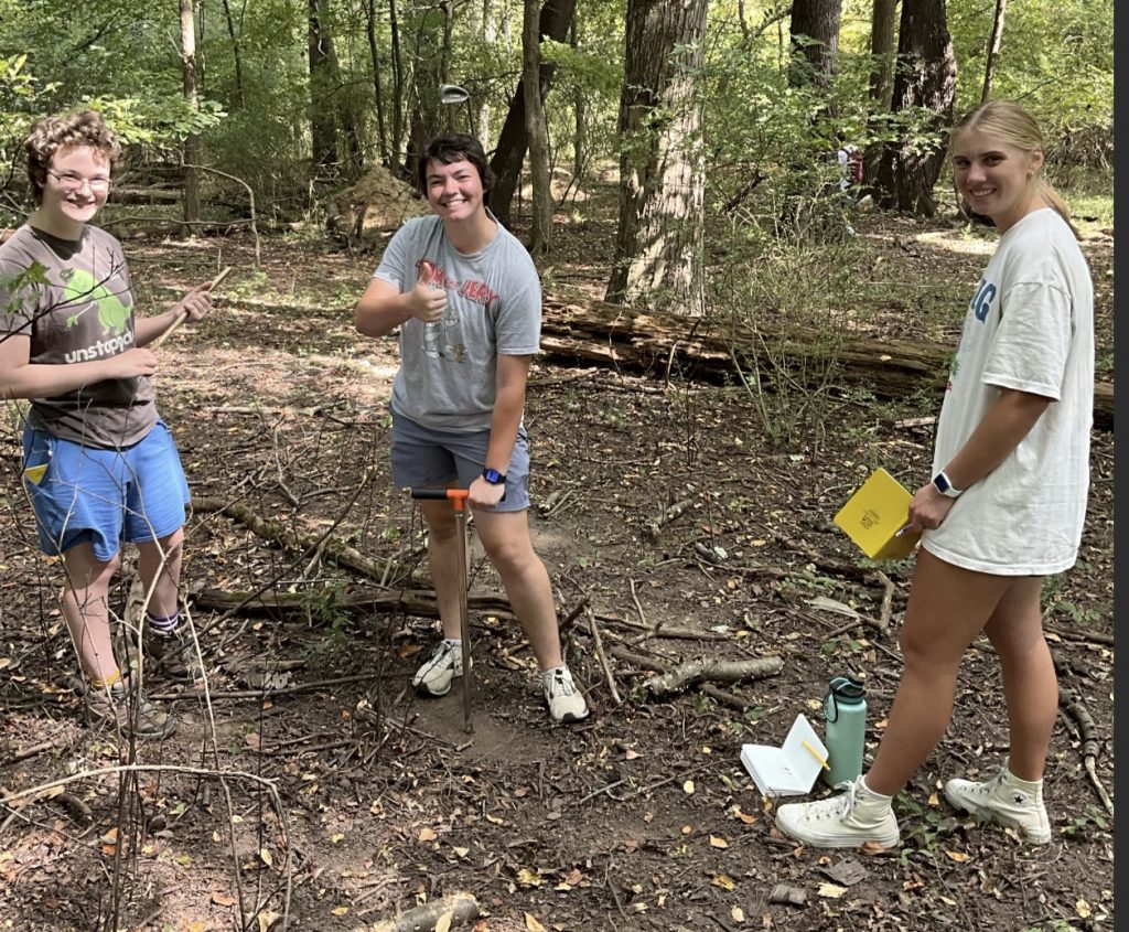
Figure 6. The coring team described a transect of soils cores along the kame terrace.
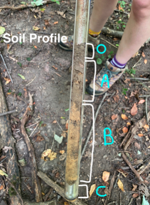
Figure 7. A representative soils core described and keyed into the soil pit via mapping.
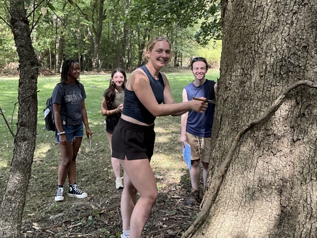
Figure 8. As it turns out there are old growth forest (this white oak is over 300 years old) this indicates that the soils were were examining have not been plowed.
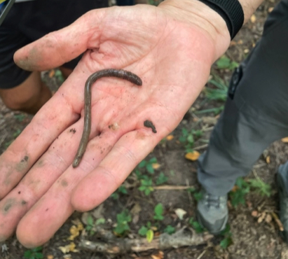
Figure 9. An example of the relatively newly-invasive asian jumping worm. This critter is non-burrowing and has the behavior of a snake as much as an earthworm. It quickly east leaf litter and does not mixed the soils as a result the surface of the soils in this forest now consists of a mantle of worm castings. Note in the scenes above there is very little undergrowth.

Figure 10. Somehow Cate found a golf ball and a club and finished the day on the 7th fairway.


These posts remind me of sunny field days! Nice writing and photography. The ternary diagram is exquisitely detailed.