
Guest bloggers: Grace, Hayden, Vince and Ethan
The group working with soils at Browns Lake Bog Preserve. The goal was the dig three soils pits and examine the soil catena from the top of a kame to the base controlling for the topographic control on soil’s texture, structure and composition.

Figure 1. A nearby kame (hill of sand and gravel of glacial origin) within the kame and kettle topography of the region.
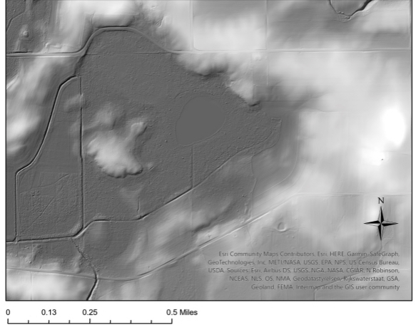
Figure 2. The kame and kettle topography of the Browns Lake site the kame in the middle of the image was the location of the soils transect. We chose the north-facing side of the kame as the southern faces are strongly bioturbated by groundhogs (aka whistle pigs) and other varmints.

Figure 3. Soils pit at the apex of the kame showing the loess cap on the kame sand and gravel is the parent material.
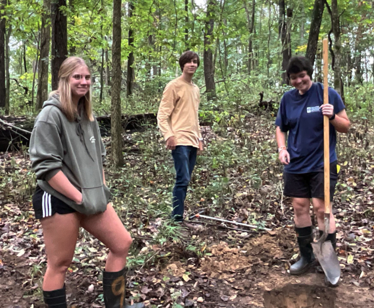
Figure 4. At mid slope a highly trained team eagerly digs a pit in the kame.
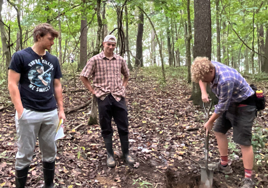
Figure 5. Team 2 somewhat further downs slope taking careful observations.
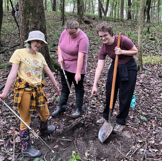
Figure 6. At the based of the kame the team noted an onlapping sequence of detrital peat, which changed the parent material and suggested that the water levels in the bog have been variable.

Figure 7. The dendro team cores trees on the flats to get an idea of the age of the substrate.

Figure 8. More tree ages.
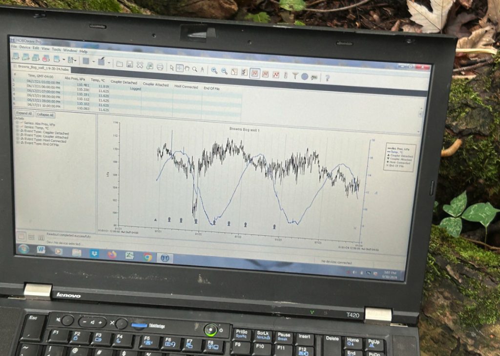
Figure 9. Nick downloaded a pressure transducer installed in a well in the bog. These data show a full three years of hourly data that includes water levels (black line) and the water temperature records (blue line).

The team looking a bit skeptical about the idea of a soil catena, a healthy does of critical thinking.


Well done again, bloggers. Best picture of that kame I’ve seen. Lots of digging this semester.