WOOSTER, OH – In preparation for the summer field season, some Wooster Geologists are being trained on new GPS equipment.
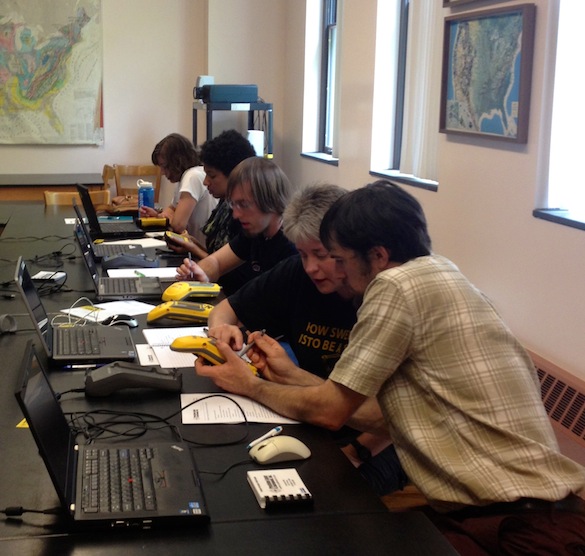
We learned the importance of thoughtfully crafting a data dictionary prior to heading to the field. Features and attributes were entered into a database that helps us organize our data as we collect it. For Team Utah, we’ll be collecting features like fractures, joints, tumuli, and samples.
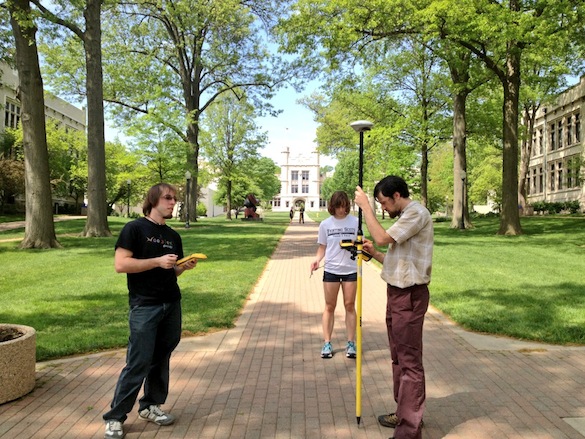
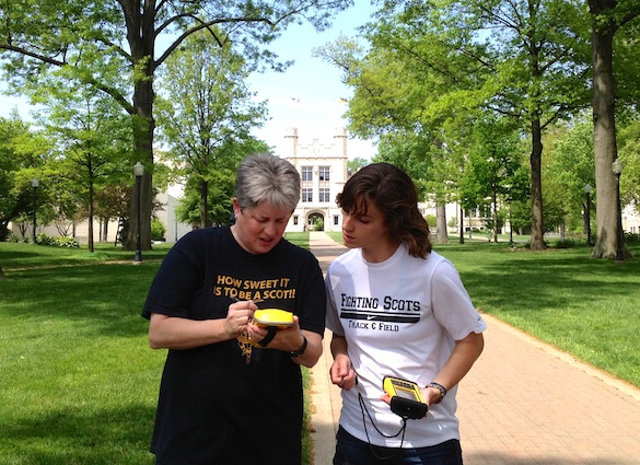
It was a gorgeous day to be training in the field. We learned to collect points, lines, and areas. We also learned about data accuracy and how to ensure that our data are high quality.
After two days of training, we’re ready to collect GPS data on the cm-scale. This summer, we’ll be able to produce high-resolution maps of our field area and test hypotheses about lava emplacement.


