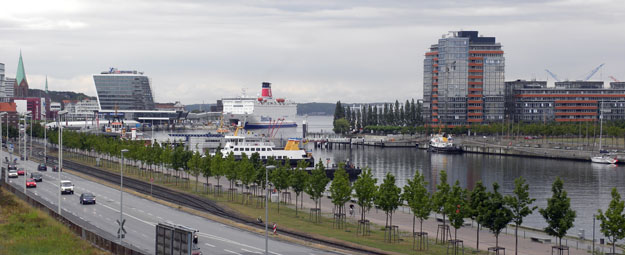
The very southern end of the Kiel Fjord. Not the most attractive geological photograph, but the best I can do so far!
KIEL, GERMANY–Geologists always try to see the geological context of cities they visit, usually by studying the form of the landscape (“geomorphology“) and peering under bridges and the like to find exposed rocks. I have been notably unsuccessful at this here in Kiel. The asphalt lies heavy on the city, and the slopes are gentle. Kiel, however, has a very geological reason for its existence: it surrounds the end of a deep fjord of the Baltic Sea.
A fjord is a long, narrow valley carved by glaciation and then flooded by the sea. The Kiel Fjord was cut from south to north toward the ancient Baltic Sea during the Late Pleistocene. The Kiel Fjord was originally settled by Vikings who found it to be a convenient base to berth their ships as they pillaged the countryside. By the Middle Ages it was an important German port well protected from storms and attack because the deep water penetrated so far inland.
The Kiel Canal is an extraordinary waterway which connects the Kiel Fjord (and thus the Baltic Sea) to the North Sea. It was completed in 1885. One of its first uses was to allow the German Navy to bypass the complicated (and stormy) Jutland Peninsula when passing from the Baltic to North Seas. It was enlarged between 1907 and 1914 so that large battleships (Dreadnoughts) could pass. This greatly concerned the British and was one of the many tensions which led to World War I.
Tomorrow we have our first field trip of the meeting, so I expect to be able to report on more geological scenery of northern Germany. At least I can show you now some German food!


Pickles?? Love the history you interject.