


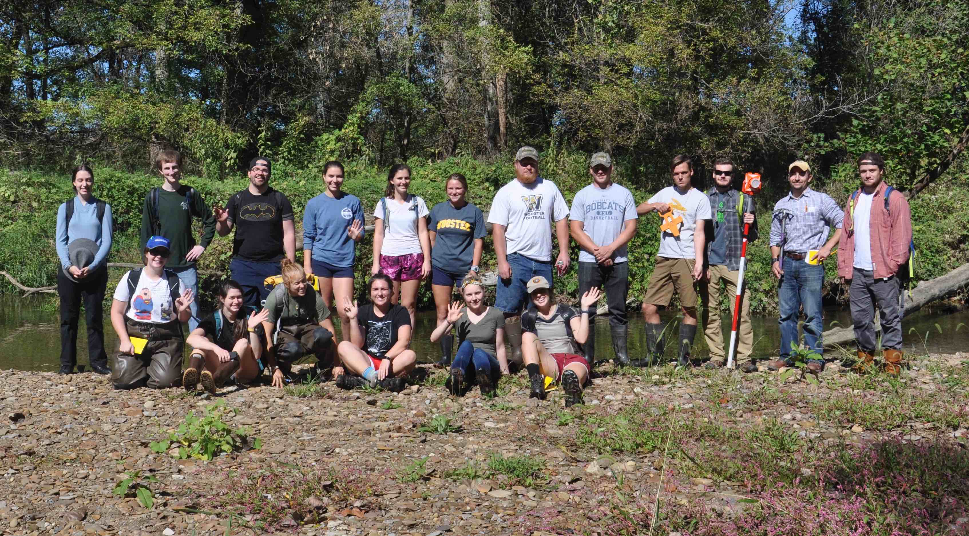
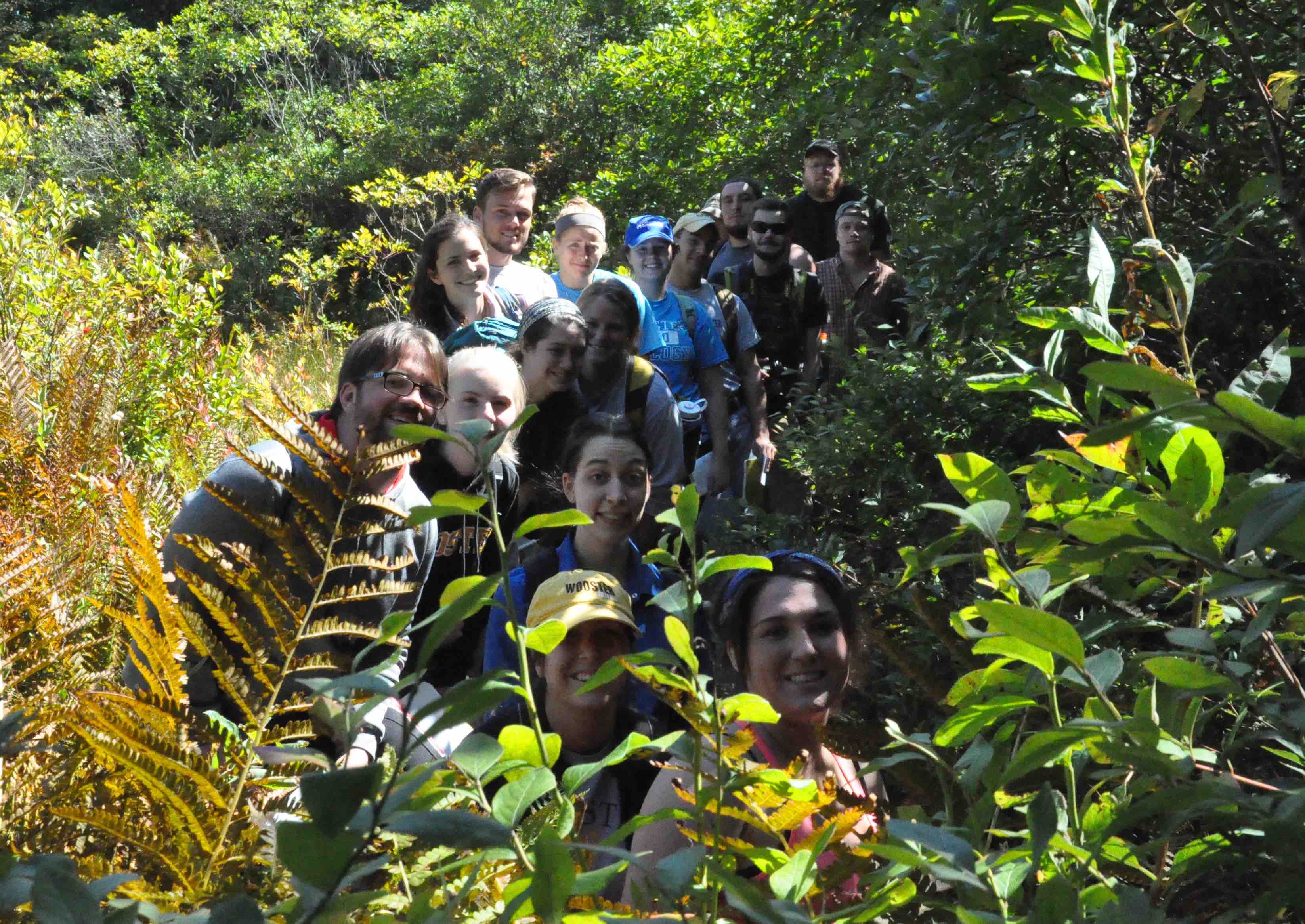
Geomorphology (Geology 300) has been taking advantage of the good weather this Fall traveling in the area. Above the full class stands on a point bar of the Apple Creek. Waves go out to Brian Merritt who experienced an injury earlier in the semester, we wish his a speedy recovery and sure could use his expertise in hydrology, carrying heavy equipment and doing much of the work (see below).
Brian augers a hole in the Kame at Browns Lake, in the background is a 350 year old white oak and we hypothesize that this area may contain old soils that have never seen the plow.
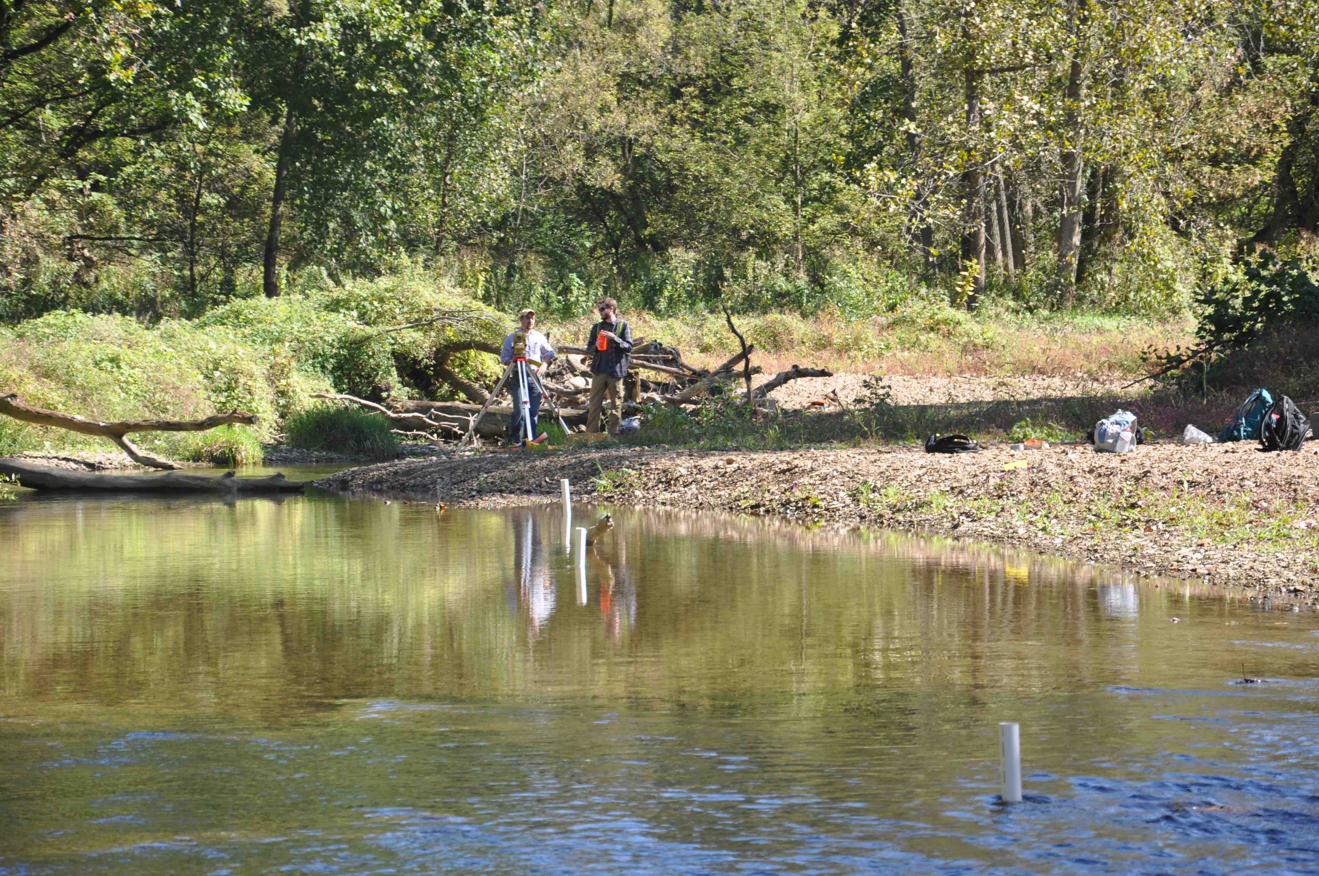
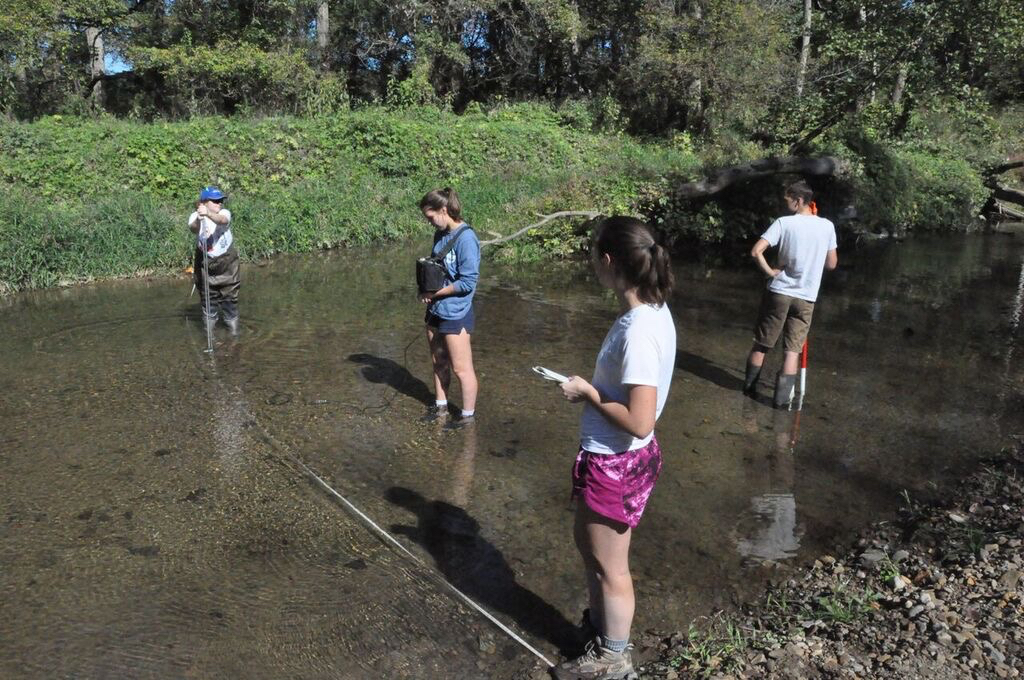
Surveying in the discharge transects and well locations.
The gaging team sets up another transect.
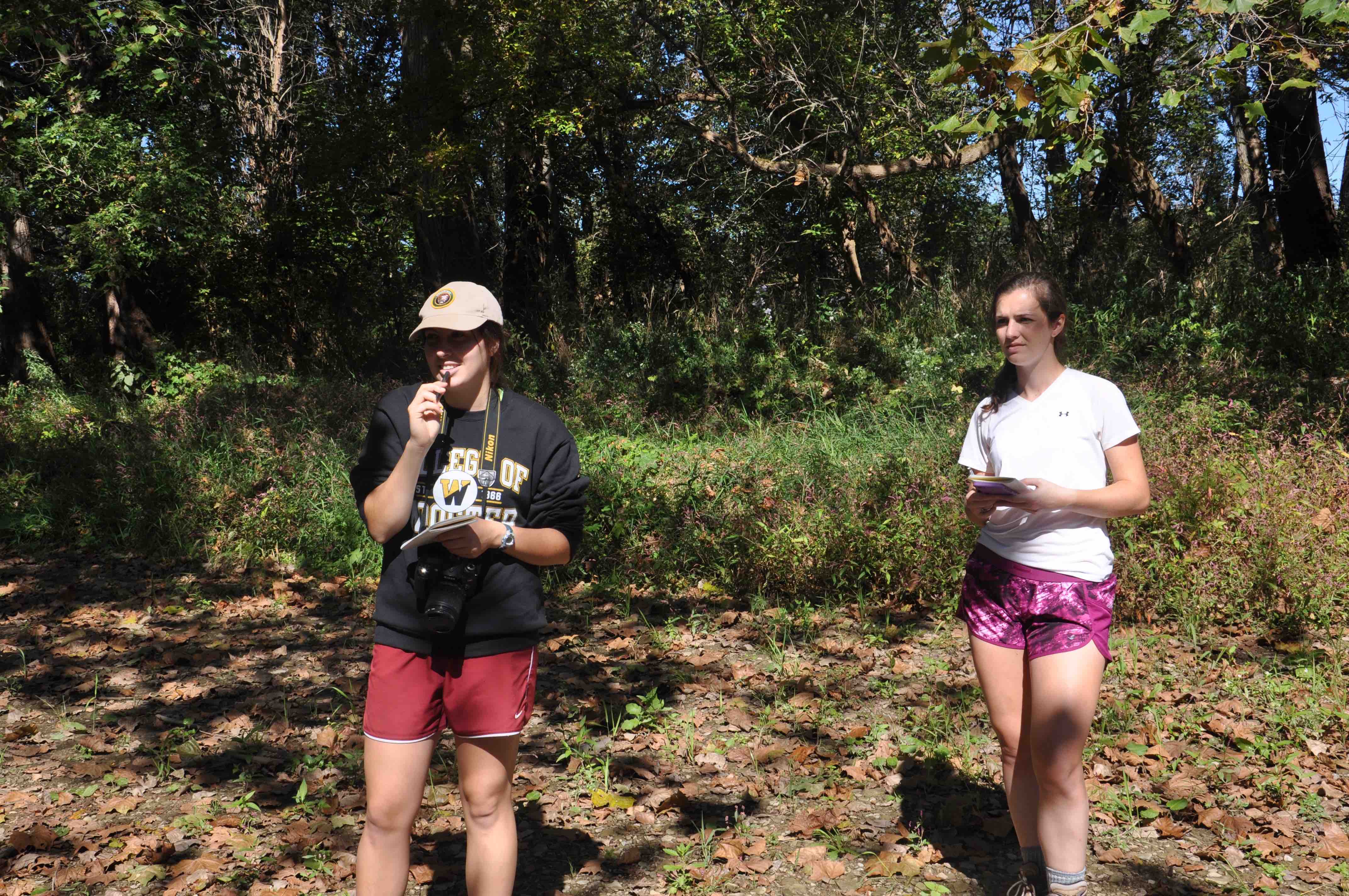
Taking notes – greatly appreciated when we return to the lab and try to make sense of what we measured.
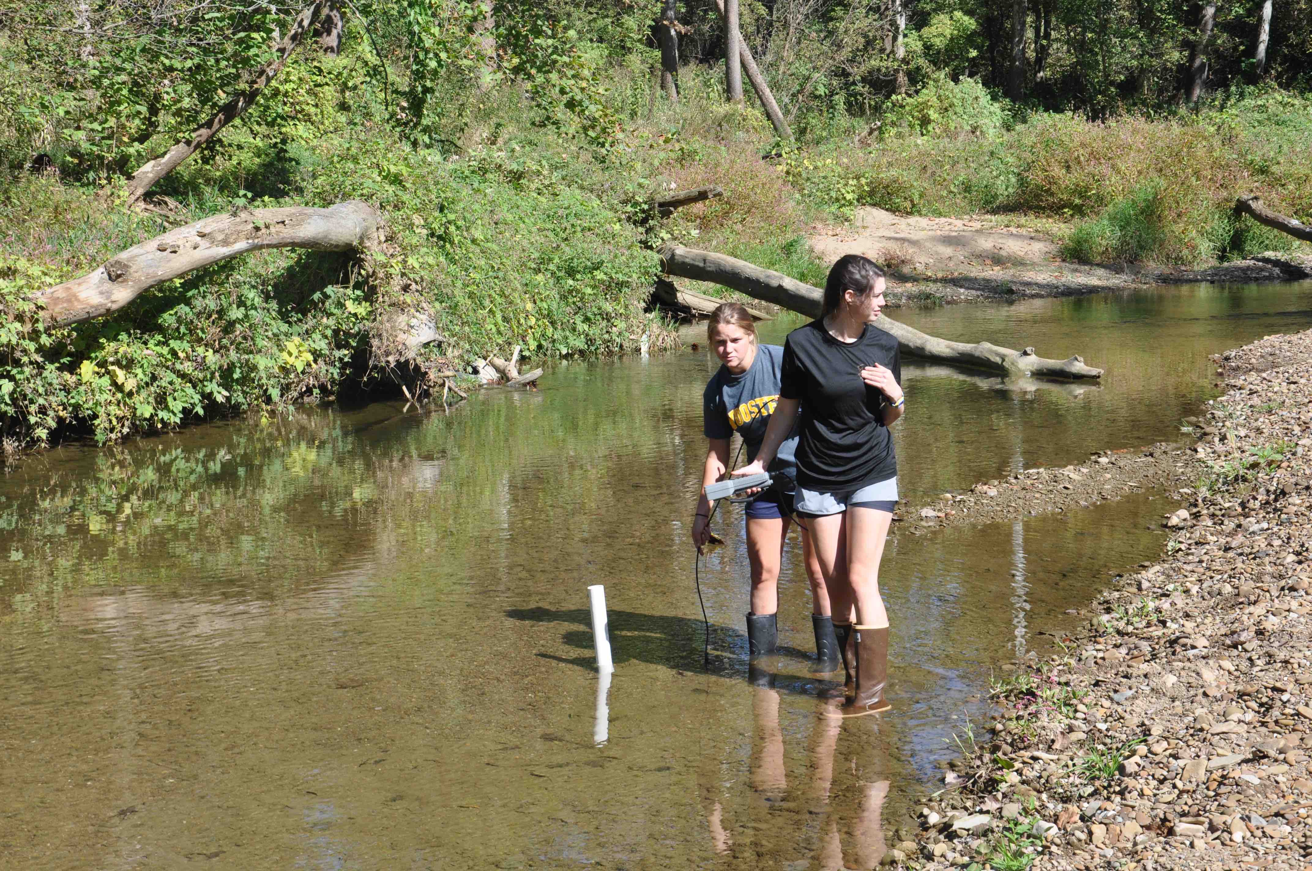
The shallow wells were measured for relative water levels and water temperature.
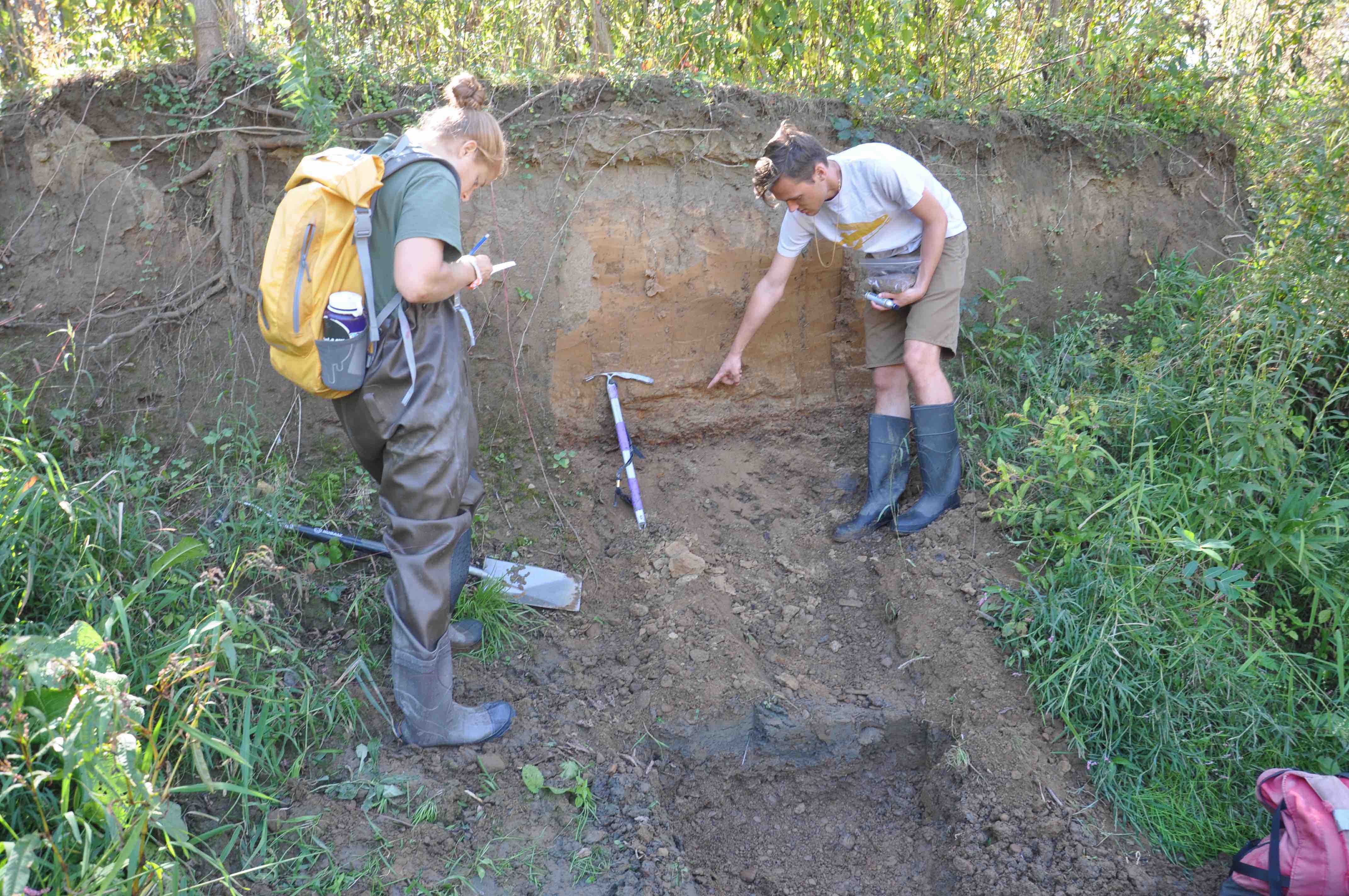
A surprise the team discovered – Roy takes a sample from the upper unit as Julia takes careful notes. The hypothesis is that this layer, which lies uncomformably on top of fluvial gravels, is in the class of legacy sediments, eroded soils and windblown dust empounded at the site when a mill was operating in the valley.
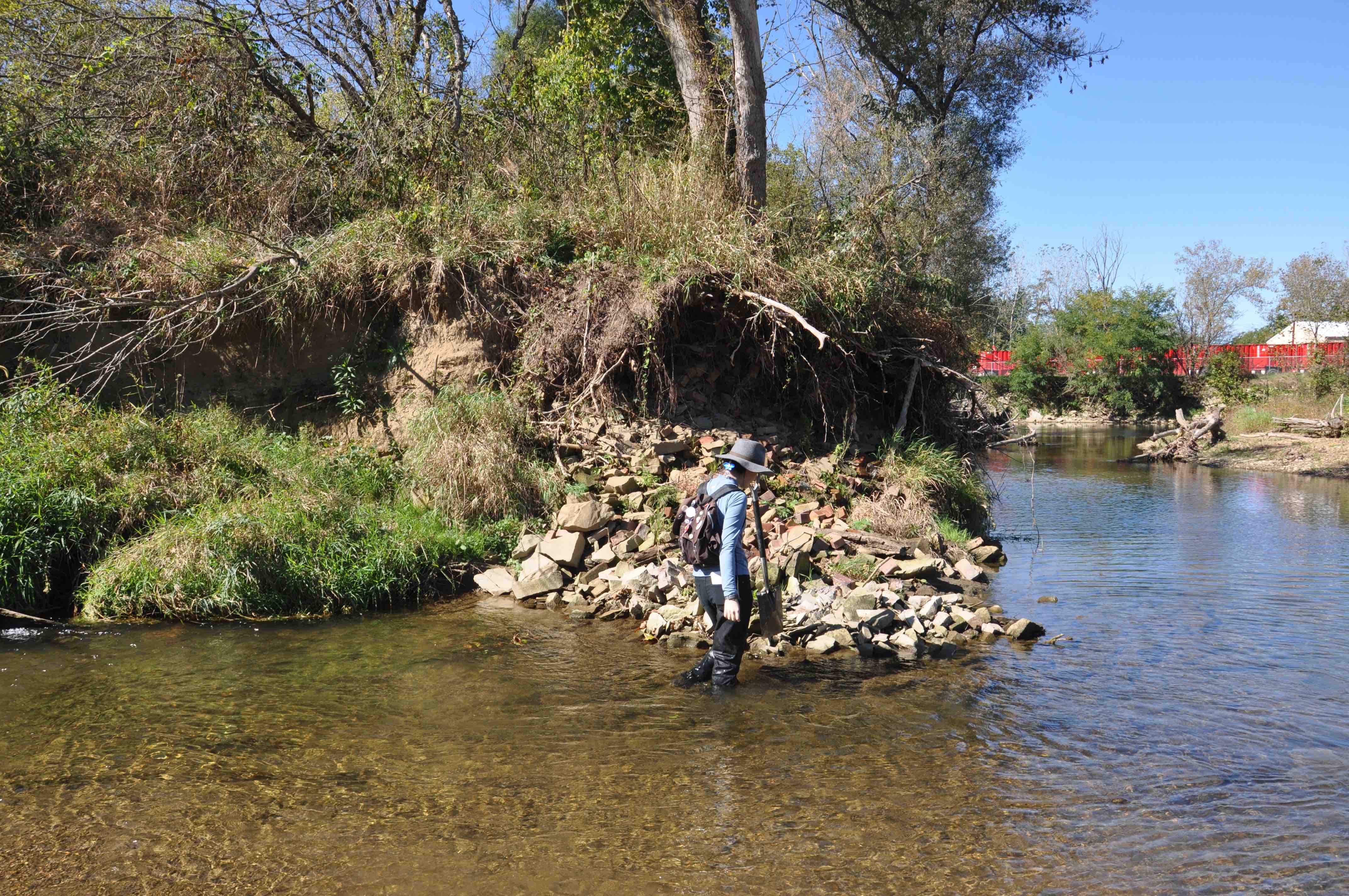
Possible Mill or dam site?

Much of the class at Zollingers Pit in Rittman – Krysden and Andrew are not present as they were excavating sediment for their project.
The group at Browns Lake.

Discussing why we install a shallow and deep well side by side.
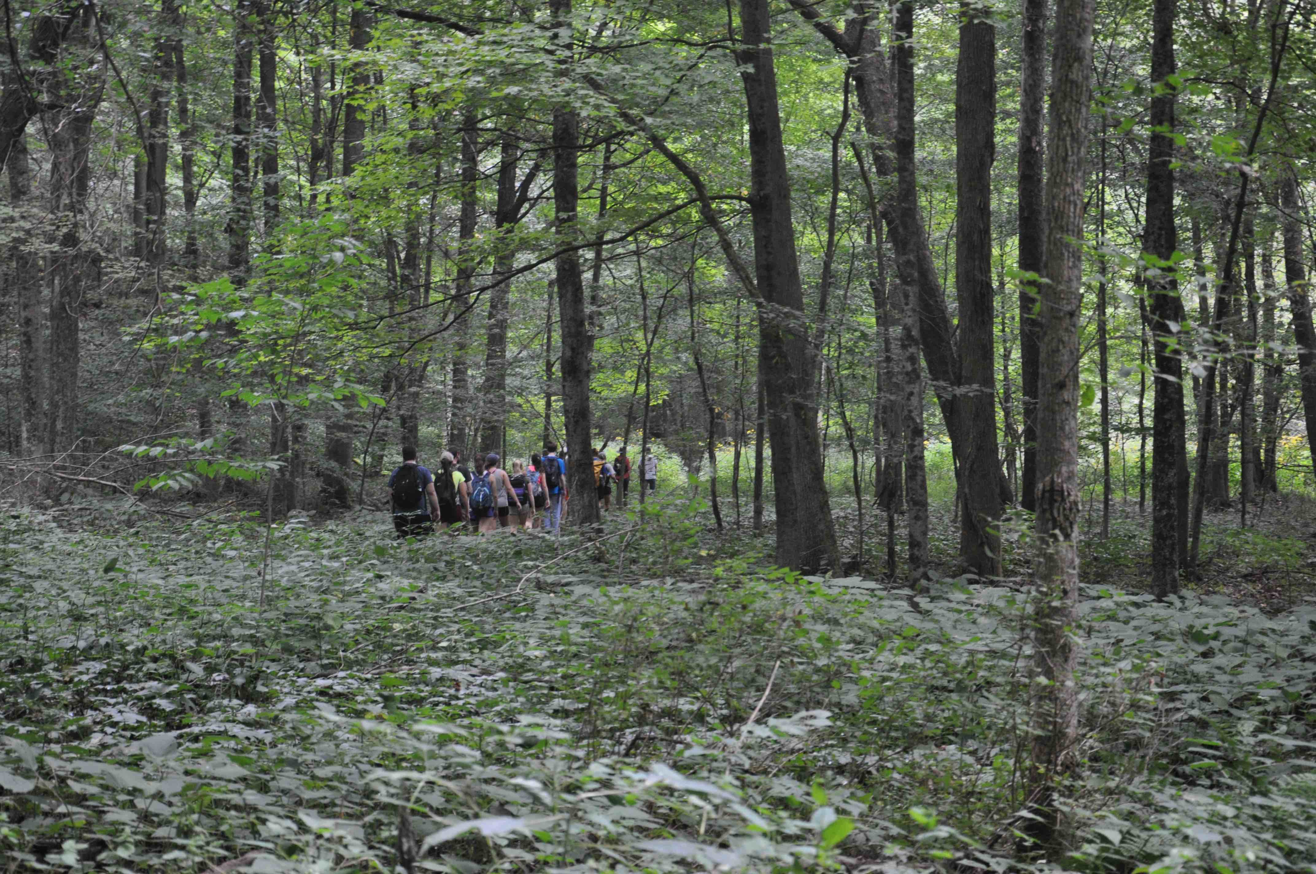
Returning to the vans after work in Wooster Memorial Park (aka Spangler).

A bald eagle circled overhead at the Apple Creek site.
This is the best time to do fieldwork in Ohio. Hard-working Wooster Geologists, and beautiful images!
There’s a fantastic spot on the edge of the Clear Fork Gorge, right off SR 3, and above the Mohican State Park Campground, with a beautifully preserved deposit, what has been described to me by a glaciologist as the result of a probable “ice slurry.” Walking below, in the valley, you can see odd, small, rounded cobbles and boulders (clearly Canadian) that have eroded from the deposit above, but if you hike to the top of the ridge, you can see the remnants of the glacial debris, “intact.” This is one of the nicest exposures I’ve seen, marking the edge of the glacial advance along the Clear Fork Gorge. Completely unsorted and unstratified, the larger “particles” exposed at the top of the ridge are, however, fairly well rounded, so somewhat unusual, although I am no glacial geologist!
It’s also a good place to teach students the meaning of tracing debris “upstream,” to an intact deposit, used to great effect in economic geology, most famously in the location of kimberlite pipes, and their diamonds, in northern Canada–one of the reasons our northern neighbor has become a heavyweight in the precious gem trade.
The folks at Franklin & Marshall have been doing lots of interesting work on heavily incised streams in Pennsylvania and the contribution to sediment loading into the Chesapeake Bay. One of the questions they have been wrestling with is why is there such deep incision and erosion in these stream systems in a geomorphically stable landscape (no this erosion is much more recent and cannot be attributed to post Pleistocene isostatic rebound)? In other words what has caused the baselines on these stream systems to be lowered? They concluded that the erosion/breaching/removal of colonial aged millponds is responsible for lowering of baselines and subsequent erosion. Cool stuff