


Manti, Salina, and Gunnison, Utah. Research Days 8-9 (July 17-18).
After finishing White Hill yesterday, we decided to spend part of the day (July 17) collecting more data and part of the day doing field reconnaissance for additional exposures of the Green River Formation that might help us with our research.
In the morning, we traveled to Manti, Utah, which is approximately 10 miles south of Ephraim. Manti is home to the Manti Temple, one of the Mormon temples in Utah. Interesting to geologists, though, is the fact that the Manti Temple is built out of the Green River Formation, and there is a large quarry in the hill immediately east of the Temple. “Temple Hill” provided a good exposure of the more massive quarry bed.
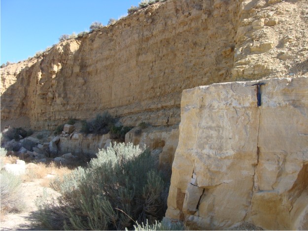
View of the quarry at Temple Hill. The more massive quarry bed is approximately 8 ft thick here, and it is overlain by a succession of lime mudstones, wackestones, claystones, and shales.
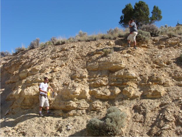
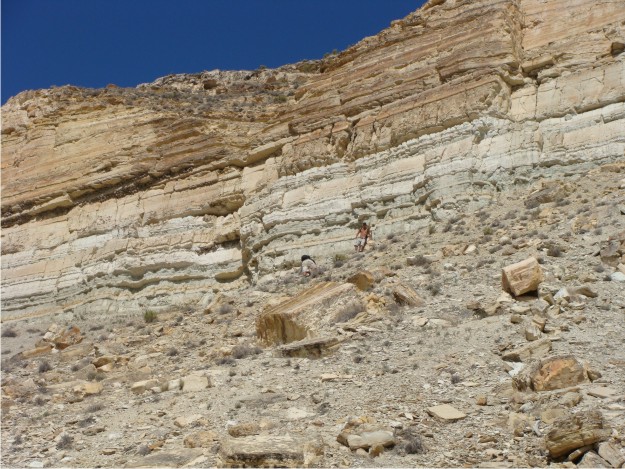
Phil and Bill are working their way through Temple Hill's stratigraphy.
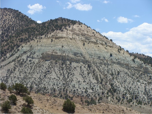
After our adventures on Temple Hill, we headed south for Salina, Utah, home of Soldier Canyon. This scenic view of Soldier Canyon shows the thickness of the Green River Formation in this area of Utah. Surprisingly, though, we couldn't find as many tuff beds in this succession as we did farther north near Ephraim, Utah.
This is a view of the Green River at the mouth of Twist Gulch, a small canyon just to the N of Soldier Canyon. After a quick visit here, we decided to travel northwards toward Gunnison, Utah, to visit the Chalk Hills.
After a reconnaissance to the Chalk Hills one day, we decided to come back the next day to investigate the stratigraphy and possible presence of tuff beds. The Chalk Hills were quite interesting and possibly could form the basis for another Wooster I.S. in upcoming field seasons.
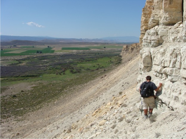
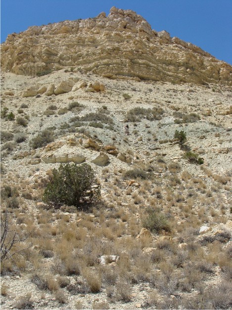
The view from the base of the Upper Member of the Green River at the Chalk Hills was spetacular, even if the climb up and down was a little treacherous!
What spectacular weather. Utah is geological heaven. Wonderful photos. Phil and Bill will learn soon enough the value of a good broad-brimmed hat for Utah fieldwork!