


Little Hill and Black Hill, north of Ephraim, Utah. Research Day 11 (July 20).
Today we set off with the same goal as we did on July 14 — mapping the large tuff bed with the GPS. So, it is the same procedure as last time, with Bill becoming a Human Antennae. This time, however, we are headed to the Little Hill / Black Hill cuesta complex, which is south of White Hill (where we mapped the tuff before). The weather was again beautiful today, with temperatures in the afternoon fluctuating between 99-102 F…a simply perfect day for walking out the tuff bed all day long.
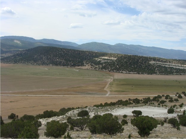
View to the S of the Black Hill cuesta, with the Wasatch Plateau rising in the background. Black Hill is geographically larger than White Hill, but it is only slightly higher, with an elevation of 6,402 ft. Black Hill's perfect dip slope of the Green River Formation is shown off in this photo.

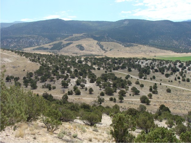
Walking the tuff bed is not difficult at Black Hill, because the tuff was well exposed. In this photo the resistant tuff bed is exposed along the Green River slopewash.
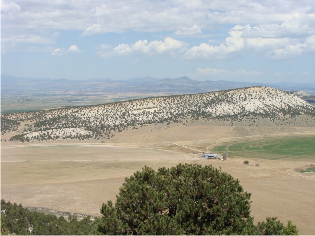
The view from the top of Black Hill was amazing, and it provided a perfect location to take a picture of White Hill, which lies immediately to the N.
From the top of Black Hill, you can easily see the large landslide to the E. The landslide originated toward the top of the Wasatch Plateau and spread into the adjacent Cane Valley.